


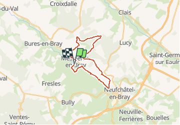

17,4 km | 22 km-effort


Benutzer


Kostenlosegpshiking-Anwendung
 SityTrail
IGN / Geografische Institute
SityTrail World
Die Welt öffnet sich für Sie
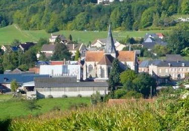
Tour Mountainbike von 19,9 km verfügbar auf Normandie, Seine-Maritime, Mesnières-en-Bray. Diese Tour wird von tracegps vorgeschlagen.
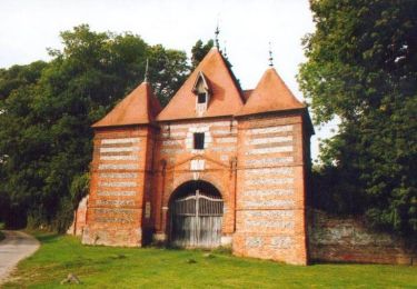
Circuit proposé par l'Office de Tourisme du Pays de Neufchâtelois. Départ du parking du château de Mesnières.


Wandern
Wandern

Wandern
Wandern

Wandern
Mountainbike
Fahrrad
Mountainbike
Mountainbike