


11,4 km | 18,3 km-effort

Benutzer


Kostenlosegpshiking-Anwendung
 SityTrail
IGN / Geografische Institute
SityTrail World
Die Welt öffnet sich für Sie
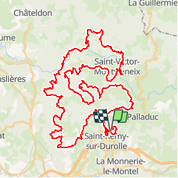
Tour Mountainbike von 64 km verfügbar auf Auvergne-Rhone-Alpen, Puy-de-Dôme, Saint-Rémy-sur-Durolle. Diese Tour wird von tracegps vorgeschlagen.
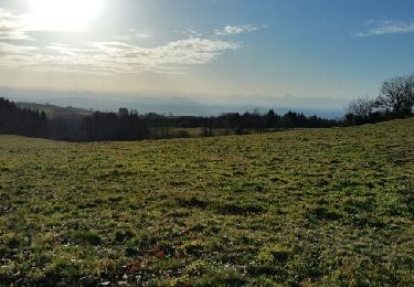
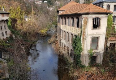
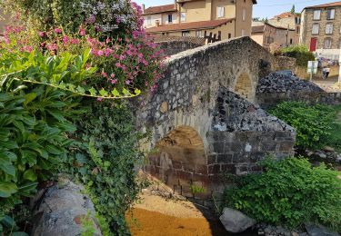
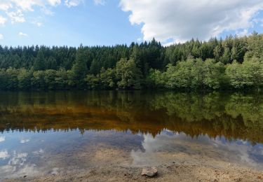
Parking et départ de la base de loisir. Belle base de loisir avec plan d'eau et restauration. La Bois Noirs Oxygène (BNO), a lieu chaque année le dernier dimanche de juin. Elle est organisée par l'Espace VTT des Bois Noirs et le Club VTT des Bois Noirs et elless'est déroulée le dimanche 24 juin 2012. Les organisateurs de la BNO, proposent des tracés de 20, 35, 45, 60 km plus des raids de 80 km et de 95 km. Ces randonnées ont pour but de faire découvrir la région et l'espace VTT-FFC du Massif des Bois Noirs qui totalise 1 108 km avec ses 42 circuits balisés. Comme tous les ans, ce rendez-vous incontournable de la région est à la hauteur de sa réputation en proposant aux VTTistes novices ou sportifs un grand éventail de parcours qui enthousiaste chaque participant. Mieux vaut être endurant et bien gérer l'effort pour effectuer ce circuit qui est assez technique et costaud. Topoguide : Espace VTT du Massif des Bois Noirs (42 circuits labellisés FFC-VTT).
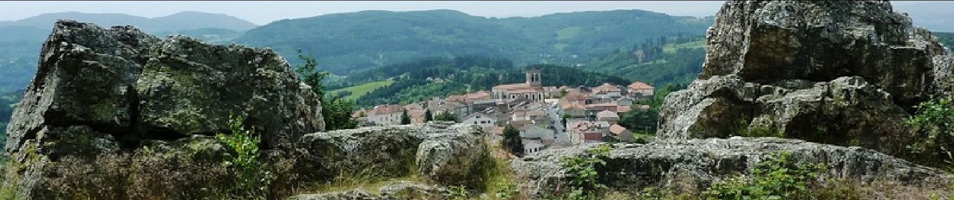
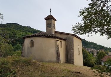
 - Saint Rémy sur Durolle - Photo 1")
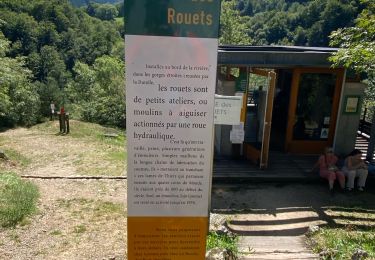
 - Saint Rémy sur Durolle - Photo 2")
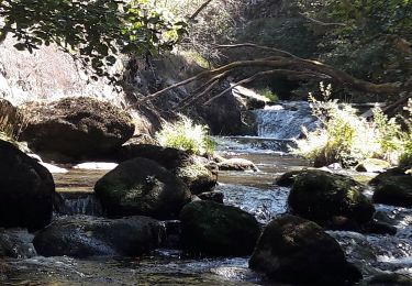
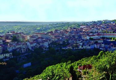
 - Saint Rémy sur Durolle - Photo 3")
 - Saint Rémy sur Durolle - Photo 4")
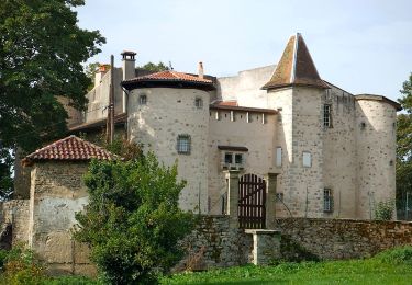
 - Saint Rémy sur Durolle - Photo 5")
 - Saint Rémy sur Durolle - Photo 6")
Wandern
Wandern
Wandern
Zu Fuß
Zu Fuß
Zu Fuß
Zu Fuß
Wandern
Wandern