


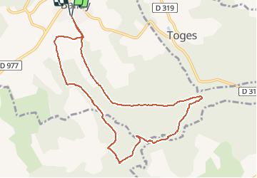

16,1 km | 19,7 km-effort


Benutzer


Kostenlosegpshiking-Anwendung
 SityTrail
IGN / Geografische Institute
SityTrail World
Die Welt öffnet sich für Sie
Tour Wandern von 9,6 km verfügbar auf Großer Osten, Ardennes, Ballay. Diese Tour wird von tracegps vorgeschlagen.
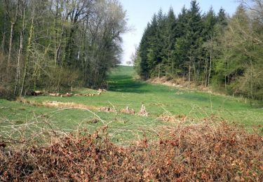
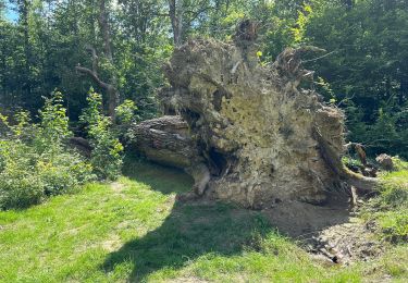
Départ place de Ballay, montez vers le cimetière, prenez la route forestière, de beaux petits ruisseaux vous attendent. Chevreuils renards blaireaux souvent sur les chemins.

Wandern
Wandern
Wandern
Wandern

Wandern
Wandern
Wandern

Nordic Walking