


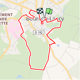

5 km | 6,1 km-effort


Benutzer


Kostenlosegpshiking-Anwendung
 SityTrail
IGN / Geografische Institute
SityTrail World
Die Welt öffnet sich für Sie
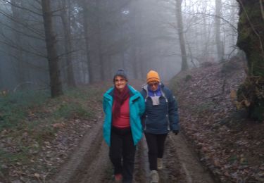
Tour Wandern von 4,7 km verfügbar auf Burgund und Freigrafschaft, Saône-et-Loire, Bourbon-Lancy. Diese Tour wird von jojoh2o vorgeschlagen.
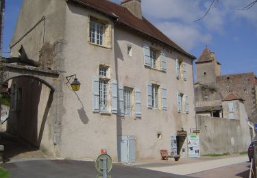
Jolie ville de Saône et Loire
découvrez sa cité moyen-nageuse,ses thermes et bien autres choses comme le BEURDIN... voir le site de la ville www.bourbon-lancy.com
Zu Fuß
Wandern

Zu Fuß
Zu Fuß
Wandern
Wandern
Wandern

Wandern
Wandern