


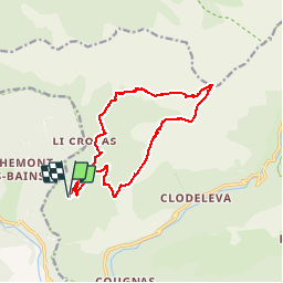

16,6 km | 33 km-effort


Benutzer


Kostenlosegpshiking-Anwendung
 SityTrail
IGN / Geografische Institute
SityTrail World
Die Welt öffnet sich für Sie
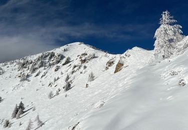
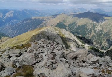
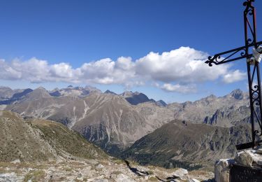
Tour Andere Aktivitäten von 15,5 km verfügbar auf Provence-Alpes-Côte d'Azur, Seealpen, Belvédère. Diese Tour wird von dolphin06200 vorgeschlagen.
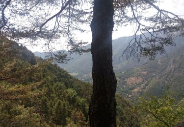
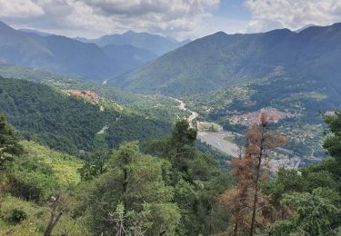
On a fait les sangliers ds la foret au retour et gros poussage sur chemin

Wandern
Wandern
Wandern
Schneeschuhwandern
Schneeschuhwandern
Wandern
Wandern
Schneeschuhwandern
Wandern