


19,2 km | 27 km-effort


Benutzer


Kostenlosegpshiking-Anwendung
 SityTrail
IGN / Geografische Institute
SityTrail World
Die Welt öffnet sich für Sie
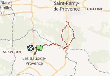
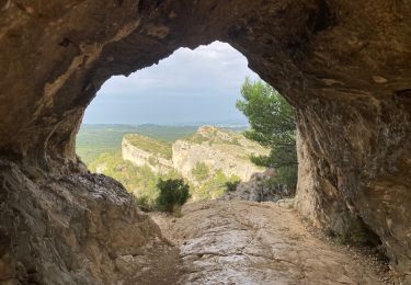
Tour Wandern von 17,1 km verfügbar auf Provence-Alpes-Côte d'Azur, Bouches-du-Rhône, Les Baux-de-Provence. Diese Tour wird von lhags vorgeschlagen.
Coeff : 22
(AR: Aller retour / 18km / 503m denivellés)
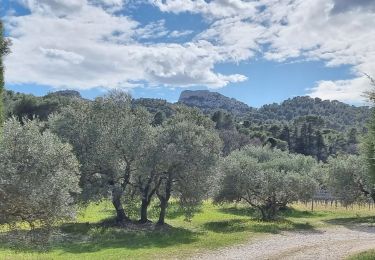
Une bonne montée pour s'échauffer tranquillement puis peu de difficultés particulières si ce n'est la longueur.
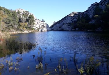
On profitera de l'arrêt au bord du lac avant d'attaquer le passage dans la cheminée avec les barreaux (entrée un peu cachée)
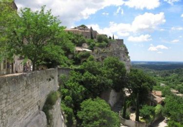
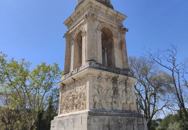
On pourra aussi visiter le site antique de Glanum à l'entrée de St Rémy ou passer voir St Paul de Mausolé.
Le retour se fait par le sentier botanique puis par une partie commune avec l'aller (une grosse heure)
Wandern
Wandern

Wandern
Mountainbike
Wandern

Wandern
Wandern
Wandern
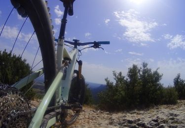
Mountainbike