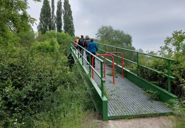
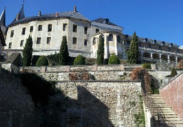
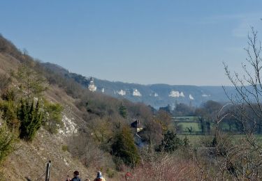
Tour Wandern Courcelles-sur-Seine - Courcelles-sur-Seine - Port Mort - Photo

Courcelles-sur-Seine - Port Mort

 marcel.F
marcel.F

Benutzer

© OpenStreetMap contributors
Länge
Länge
11,3 km
Maximale Höhe
Maximale Höhe
79 m
Positive Höhendifferenz
126 m
Km-Effort
Km-Effort  
12,9 km
Min. Höhe
Min. Höhe
9 m
Negative Höhendifferenz
125 m
Boucle
Boucle
Ja
Erstellungsdatum :
2016-01-10 00:00:00.0
Letzte Änderung :
2019-04-07 15:01:26.463

(0 Nachricht)

Wandern
Wandern
2h52
Schwierigkeit : Einfach

Scannen Sie diesen QR-Code, um die Tour in der SityTrail-Anwendung zu öffnen

Kostenlosegpshiking-Anwendung

Logo SityTrail SityTrail

IGN / Geografische Institute

SityTrail aus dem App Store herunterladen SityTrail von Google Play herunterladen

Logo SityTrail SityTrail World

Die Welt öffnet sich für Sie

SityTrail aus dem App Store herunterladen SityTrail von Google Play herunterladen SityTrail auf Huawei AppGallery herunterladen

Über SityTrail

Tour Wandern von 11,3 km verfügbar auf Normandie, Eure, Courcelles-sur-Seine. Diese Tour wird von marcel.F vorgeschlagen.

Beschreibung

boucle départ parking mairie de Courcelles sur Seine
via Port Mort

Höhenprofil

Ort

Land:
France
Region :
Normandie
Abteilung/Provinz :
Eure
Kommune :
Courcelles-sur-Seine
Standort:
Unknown
Gehen Sie:(Dec)
Gehen Sie:(UTM)
380330 ; 5449064 (31U) N.

Touren in der Umgebung

Tour Wandern Les Trois Lacs - rando venables - Photo
Wandern
Dominique Petit

Wandern

Medium
Les Trois Lacs, Normandie, Eure, France
10,9 km | 13,1 km-effort
3h 2min
Ja
Tour Wandern Gaillon - Gaillon-StAubin-Brillehaut - Photo
Wandern
douneto

Wandern

Medium
Gaillon, Normandie, Eure, France
11,3 km | 14,7 km-effort
3h 9min
Ja
Tour Wandern Villers-sur-le-Roule - Villers-Venables_13Km - Photo
Wandern
douneto

Wandern

Medium
Villers-sur-le-Roule, Normandie, Eure, France
11,9 km | 14,9 km-effort
3h 10min
Ja
Tour Wandern Saint-Aubin-sur-Gaillon - Brillehaut_ScarabeViolet - Photo
Wandern
douneto

Wandern

Einfach
Saint-Aubin-sur-Gaillon, Normandie, Eure, France
5,6 km | 7,1 km-effort
1h 30min
Ja
Tour Wandern Muids - rando Muids  - Photo
Wandern
Dominique Petit

Wandern

Einfach
Muids, Normandie, Eure, France
10,9 km | 12,6 km-effort
3h 13min
Ja
Tour Wandern Les Trois Lacs - La Mare sous Venables - Photo
Wandern
MichelRando7656

Wandern

Einfach
Les Trois Lacs, Normandie, Eure, France
8,5 km | 9,6 km-effort
2h 5min
Nein
Tour Andere Aktivitäten La Chapelle-Longueville - de l hôtel des canisses - Photo
Andere Aktivitäten
doclocjl

Andere Aktivitäten

Einfach
La Chapelle-Longueville, Normandie, Eure, France
11,9 km | 14,3 km-effort
3h 48min
Ja
Tour Wandern Muids - Muids - Le moulin - Photo
Wandern
marcel.F

Wandern

Einfach
Muids, Normandie, Eure, France
8,7 km | 9,6 km-effort
2h 8min
Ja
Tour Wandern Port-Mort - Port Mort et ses personnages célèbres - Photo
Wandern
lili76520

Wandern

Schwierig
Port-Mort, Normandie, Eure, France
14,6 km | 17,6 km-effort
3h 59min
Ja


Schließen
Meine Abonnements