


17,3 km | 21 km-effort

Benutzer


Kostenlosegpshiking-Anwendung
 SityTrail
IGN / Geografische Institute
SityTrail World
Die Welt öffnet sich für Sie
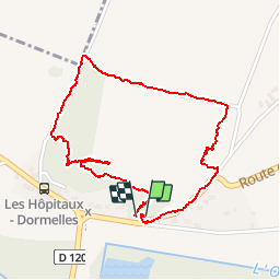
Tour Wandern von 2,2 km verfügbar auf Île-de-France, Seine-et-Marne, Dormelles. Diese Tour wird von randodan vorgeschlagen.
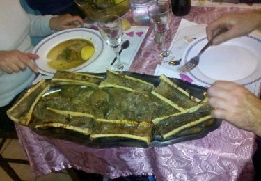
31 décembre 2012.<br>
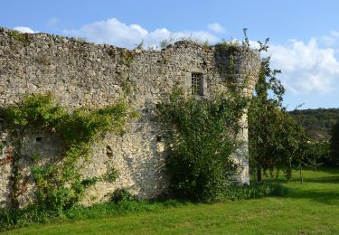
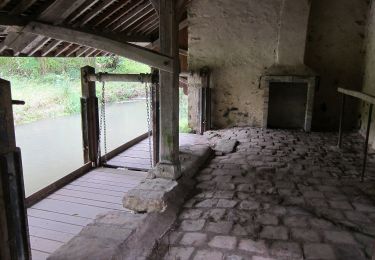
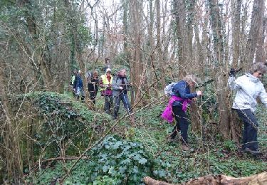
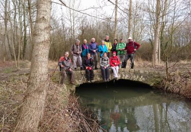
Tour des Cliquets, 15h30-16h15.<br>
Coline de la Ronce, retour par derrière les Cliquets.<br>
JL D.


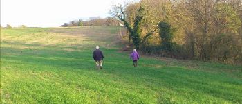
Wandern
Zu Fuß
Zu Fuß

Nordic Walking
Wandern
Wandern
Wandern
Wandern
Nordic Walking