


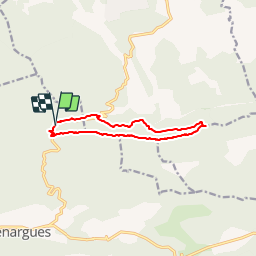

15 km | 25 km-effort


Benutzer


Kostenlosegpshiking-Anwendung
 SityTrail
IGN / Geografische Institute
SityTrail World
Die Welt öffnet sich für Sie
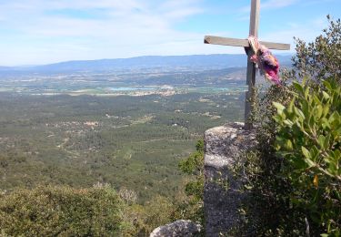
Tour Wandern von 10,7 km verfügbar auf Provence-Alpes-Côte d'Azur, Bouches-du-Rhône, Vauvenargues. Diese Tour wird von phidge vorgeschlagen.
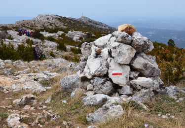
P2 T2Rando facile , descente un peu raide qui devrait pouvoir ce faire un peu plus loin
Eviter le retour en bord de route

Wandern

Zu Fuß

Wandern
Wandern
Wandern
Wandern
Wandern
Wandern
Wandern