49 km | 59 km-effort
huberville
mouchelpierre
Benutzer
Länge
8,9 km
Maximale Höhe
65 m
Positive Höhendifferenz
84 m
Km-Effort
10 km
Min. Höhe
35 m
Negative Höhendifferenz
83 m
Boucle
Ja
Erstellungsdatum :
2014-12-10 00:00:00.0
Letzte Änderung :
2014-12-10 00:00:00.0
2h04
Schwierigkeit : Unbekannt
Kostenlosegpshiking-Anwendung
Über SityTrail
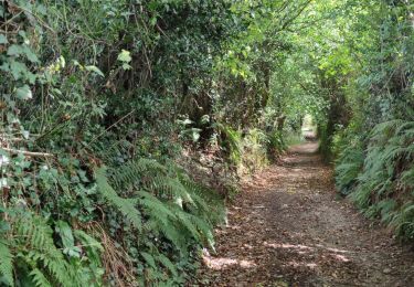
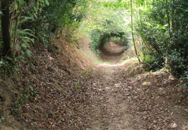
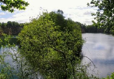
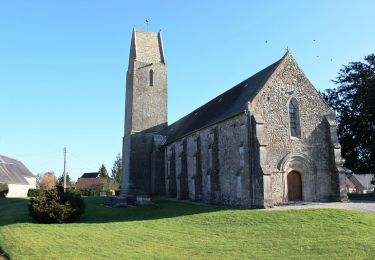
Tour Wandern von 8,9 km verfügbar auf Normandie, Manche, Huberville. Diese Tour wird von mouchelpierre vorgeschlagen.
Ort
Land:
France
Region :
Normandie
Abteilung/Provinz :
Manche
Kommune :
Huberville
Standort:
Unknown
Gehen Sie:(Dec)
Gehen Sie:(UTM)
613094 ; 5485323 (30U) N.
Kommentare
Touren in der Umgebung
La JCM 2013 - randonnée en pays valognais
Mountainbike
Schwierig
Valognes,
Normandie,
Manche,
France
54 km | 66 km-effort
3h 30min
Ja
Rando d''Alauna 2013 - 50 km - Valognes
Mountainbike
Schwierig
Valognes,
Normandie,
Manche,
France
47 km | 56 km-effort
2h 30min
Nein
Rando de Yvetot-Bocage 2013
Mountainbike
Medium
Yvetot-Bocage,
Normandie,
Manche,
France
42 km | 47 km-effort
2h 45min
Ja
La Sortosvillaise 2013 - Sortosville
Mountainbike
Medium
Sortosville,
Normandie,
Manche,
France
27 km | 30 km-effort
2h 0min
Ja
Saint Germain de tournebut
Wandern
Medium
Saint-Germain-de-Tournebut,
Normandie,
Manche,
France
7,8 km | 9 km-effort
2h 39min
Ja
Autour des ruines d alauna Boucle
Wandern
Sehr leicht
Huberville,
Normandie,
Manche,
France
10,1 km | 11,2 km-effort
2h 5min
Ja