


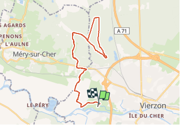

46 km | 51 km-effort


Benutzer


Kostenlosegpshiking-Anwendung
 SityTrail
IGN / Geografische Institute
SityTrail World
Die Welt öffnet sich für Sie
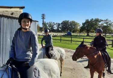
Tour Pferd von 20 km verfügbar auf Zentrum-Loiretal, Cher, Vierzon. Diese Tour wird von Orage vorgeschlagen.
Boucle de 20 km.
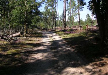
Une traversée de la voie ferrée et de la route de Tours... pour accéder aux couleurs d'automne de la forêt domaniale.
Wandern

Pferd

Wandern

Wandern
Pferd
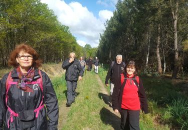
Wandern

Mountainbike
Wandern