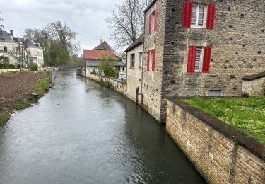
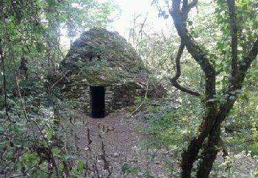
Tour Wandern Les Riceys - Les Riceys RCM - Photo
 mdeclemy
mdeclemy

Benutzer

© OpenStreetMap contributors
Länge
Länge
27 km
Maximale Höhe
Maximale Höhe
344 m
Positive Höhendifferenz
575 m
Km-Effort
Km-Effort  
34 km
Min. Höhe
Min. Höhe
168 m
Negative Höhendifferenz
584 m
Boucle
Boucle
Ja
Erstellungsdatum :
2014-12-10 00:00:00.0
Letzte Änderung :
2014-12-10 00:00:00.0

(0 Nachricht)

Wandern
Wandern
--
Schwierigkeit : Unbekannt

Scannen Sie diesen QR-Code, um die Tour in der SityTrail-Anwendung zu öffnen

Kostenlosegpshiking-Anwendung

Logo SityTrail SityTrail

IGN / Geografische Institute

SityTrail aus dem App Store herunterladen SityTrail von Google Play herunterladen

Logo SityTrail SityTrail World

Die Welt öffnet sich für Sie

SityTrail aus dem App Store herunterladen SityTrail von Google Play herunterladen SityTrail auf Huawei AppGallery herunterladen

Über SityTrail

Tour Wandern von 27 km verfügbar auf Großer Osten, Aube, Les Riceys. Diese Tour wird von mdeclemy vorgeschlagen.

Beschreibung

Randonnée pédestre dans les vignobles. Chemin des cadoles (en partie)

Höhenprofil

POIs

POI Les Riceys - A - Photo
mdeclemy
LES RICEYS 
POI Les Riceys - P1 - Photo
mdeclemy
LES RICEYS 
POI Les Riceys - C - Photo
mdeclemy
LES RICEYS 
POI Les Riceys - P2 - Photo
mdeclemy
LES RICEYS 
POI Les Riceys - P3 - Photo
mdeclemy
LES RICEYS 
POI Gyé-sur-Seine - B - Photo
mdeclemy
GYÉ-SUR-SEINE 
POI Gyé-sur-Seine - C - Photo
mdeclemy
GYÉ-SUR-SEINE 
POI Les Riceys - E - Photo
mdeclemy
LES RICEYS 
POI Les Riceys - F - Photo
mdeclemy
LES RICEYS 
POI Les Riceys - G - Photo
mdeclemy
LES RICEYS 
POI Bagneux-la-Fosse - H - Photo
mdeclemy
BAGNEUX-LA-FOSSE 
POI Les Riceys - I - Photo
mdeclemy
LES RICEYS 
POI Bagneux-la-Fosse - J - Photo
mdeclemy
BAGNEUX-LA-FOSSE 
POI Les Riceys - K - Photo
mdeclemy
LES RICEYS 
POI Les Riceys - L - Photo
mdeclemy
LES RICEYS 
POI Les Riceys - M - Photo
mdeclemy
LES RICEYS 
POI Les Riceys - N - Photo
mdeclemy
LES RICEYS 
POI Les Riceys - O - Photo
mdeclemy
LES RICEYS 
POI Les Riceys - P - Photo
mdeclemy
LES RICEYS 
POI Bagneux-la-Fosse - Q - Photo
mdeclemy
BAGNEUX-LA-FOSSE 
POI Les Riceys - R - Photo
mdeclemy
LES RICEYS 

Ort

Land:
France
Region :
Großer Osten
Abteilung/Provinz :
Aube
Kommune :
Les Riceys
Standort:
Unknown
Gehen Sie:(Dec)
Gehen Sie:(UTM)
601888 ; 5316320 (31T) N.

Touren in der Umgebung

Tour Wandern Les Riceys - Ricey bois, cadoles et vignes 13 km - Photo
Wandern
GUIDE
rvapeldo

Wandern

Medium
Les Riceys, Großer Osten, Aube, France
13,1 km | 15,9 km-effort
4h 6min
Ja
Tour Mountainbike Les Riceys - Raid des Cadoles 2008 60km - Photo
Mountainbike
tracegps

Mountainbike

Schwierig
Les Riceys, Großer Osten, Aube, France
57 km | 71 km-effort
4h 0min
Ja
Tour Wandern Les Riceys - es Riceys 9km - Photo
Wandern
francis1952

Wandern

Medium
Les Riceys, Großer Osten, Aube, France
9 km | 11,3 km-effort
2h 23min
Ja
Tour Wandern Les Riceys - Les Riceys - Les Cadoles - Photo
Wandern
patjobou

Wandern

Einfach
Les Riceys, Großer Osten, Aube, France
7,6 km | 9,1 km-effort
2h 1min
Ja
Tour Wandern Avirey-Lingey - Chemin de Compostelle, Voie de Vézelay GR654® De Avirey Lingey à Etourvy - Photo
Wandern
tracegps

Wandern

Schwierig
Avirey-Lingey, Großer Osten, Aube, France
25 km | 32 km-effort
5h 10min
Nein
Tour Wandern Les Riceys - Cirkwi-Les_Riceys___circuit_des_cadoles - Photo
Wandern
JCLUTT

Wandern

Medium
Les Riceys, Großer Osten, Aube, France
16,9 km | 21 km-effort
Unbekannt
Ja
Tour Wandern Gyé-sur-Seine - Gyé sur Seine - Photo
Wandern
m.rambouillet

Wandern

Sehr leicht
Gyé-sur-Seine, Großer Osten, Aube, France
20 km | 26 km-effort
6h 4min
Ja
Tour Wandern Les Riceys - les Riceys 24 - Photo
Wandern
bougnaou

Wandern

Medium
Les Riceys, Großer Osten, Aube, France
13,5 km | 16,3 km-effort
4h 31min
Ja
Tour Nordic Walking Les Riceys - Riceys_2022-05-08 - Photo
Nordic Walking
DomifaC

Nordic Walking

Medium
Les Riceys, Großer Osten, Aube, France
25 km | 32 km-effort
5h 40min
Ja


Schließen
Meine Abonnements