


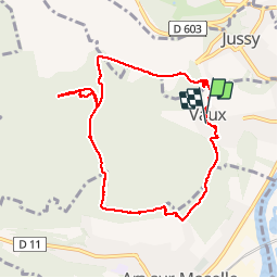

6,9 km | 9,2 km-effort

Benutzer


Kostenlosegpshiking-Anwendung
 SityTrail
IGN / Geografische Institute
SityTrail World
Die Welt öffnet sich für Sie
Tour Wandern von 8,6 km verfügbar auf Großer Osten, Mosel, Wals. Diese Tour wird von edmondnagel vorgeschlagen.
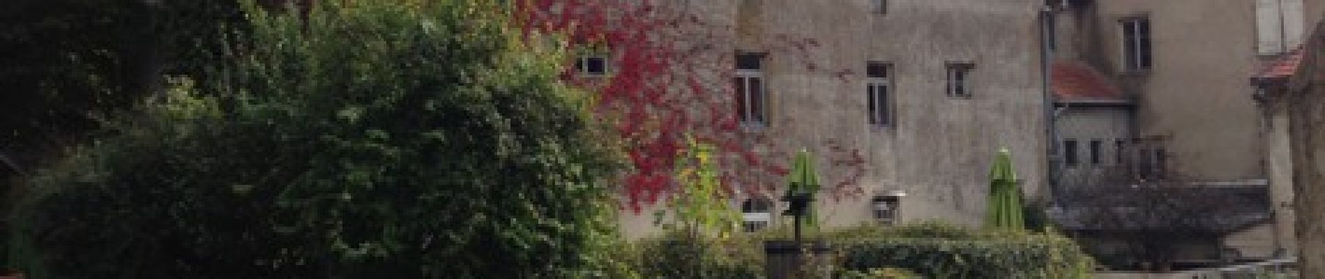
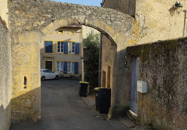
Départ place Saint Rémi - Château de Vaux - rue du grand lavoir - rue du grand Champé - route du Bois de la Dame - pour se diriger vers le Bois de Vaux - Forêt de Vaux - Casemate du Bois La Dame - retour par le chemin de la Noue - place Saint Rémi


Wandern

Wandern

Wandern
Zu Fuß

Zu Fuß

Zu Fuß

Zu Fuß

Mountainbike

Zu Fuß