


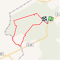

8,3 km | 9,6 km-effort


Benutzer


Kostenlosegpshiking-Anwendung
 SityTrail
IGN / Geografische Institute
SityTrail World
Die Welt öffnet sich für Sie
Tour Wandern von 6,5 km verfügbar auf Burgund und Freigrafschaft, Yonne, Saint-Maurice-aux-Riches-Hommes. Diese Tour wird von Daneel-89 vorgeschlagen.
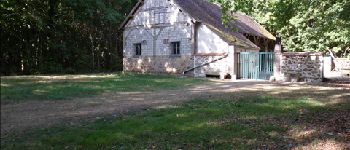
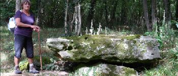
Curiosités :
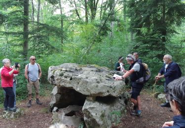
Dolmens de Trainel
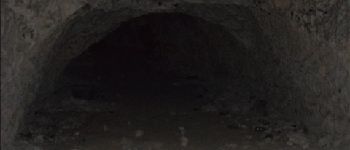
Grotte
Difficulté : passage délicat (100 m de ronces) pour sortir du bois de Bray afin de se rendre sur le chemin allant vers la grotte.
 - Photo 1")
 - Photo 2")
 - Photo 3")
 - Photo 4")
 - Photo 5")
 - Photo 6")
 - Photo 7")
 - Photo 8")
 - Photo 9")
 - Photo 10")
 - Photo 11")
 - Photo 12")
 - Photo 13")
 - Photo 14")
 - Photo 15")

Wandern
Wandern
Wandern
Wandern
Wandern
Wandern
Wandern
Wandern
Wandern