


8 km | 9,6 km-effort

Benutzer


Kostenlosegpshiking-Anwendung
 SityTrail
IGN / Geografische Institute
SityTrail World
Die Welt öffnet sich für Sie
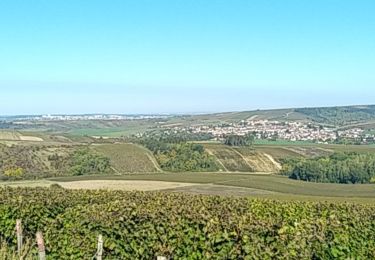
Tour Wandern von 15,6 km verfügbar auf Burgund und Freigrafschaft, Yonne, Deux Rivières. Diese Tour wird von randodan vorgeschlagen.
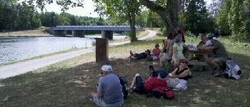
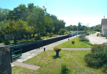
W.E. camping SLV août 2012 .
1er jour samedi 25 :
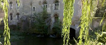
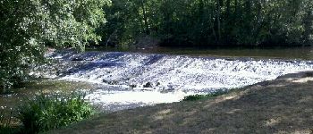
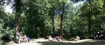
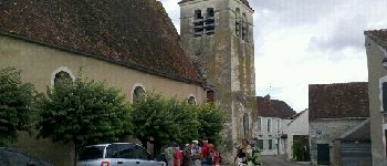
Cravant , Vermenton , pique-nique au Parc Municipal des Iles , Accolay , canal d'Accolay , Cravant .


Zu Fuß
Wandern
Wandern
Wandern
Wandern
Wandern

Wandern
Wandern
Wandern
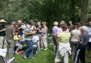
Randonnée agréable.