


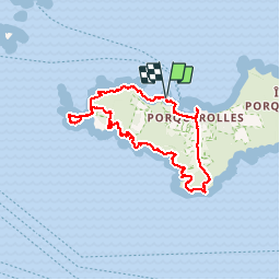


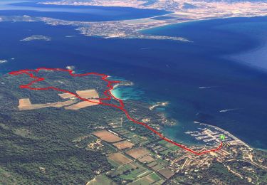
11,9 km | 14,2 km-effort


Benutzer


Kostenlosegpshiking-Anwendung
 SityTrail
IGN / Geografische Institute
SityTrail World
Die Welt öffnet sich für Sie
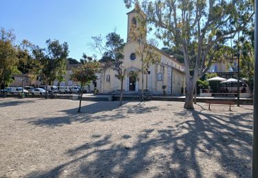
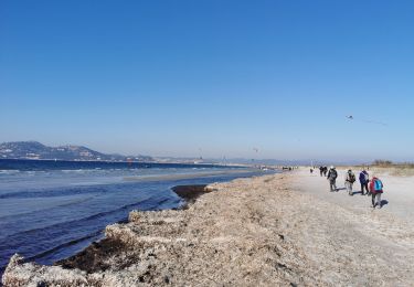
Tour Wandern von 16 km verfügbar auf Provence-Alpes-Côte d'Azur, Var, Hyères. Diese Tour wird von wallander76 vorgeschlagen.
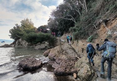
Superbe marche avec mon ami Jules. Nous avons fait le tour du tiers ouest de l'Ile de Porquerolles. Des points de vue somptueux et une alternance entre les rochers et des chemins dans des tunnels de végétation.


Wandern

Wandern

Mountainbike

Wandern

Wandern
Zu Fuß
Wandern
Wandern
Wandern