


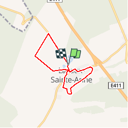


26 km | 33 km-effort

Randonnées de la Maison du Tourisme Famenne - Ardenne Ourthe & Lesse PRO


Kostenlosegpshiking-Anwendung
 SityTrail
IGN / Geografische Institute
SityTrail World
Die Welt öffnet sich für Sie
Tour Wandern von 5 km verfügbar auf Wallonien, Namur, Rochefort. Diese Tour wird von Maison du Tourisme Famenne - Ardenne Ourthe & Lesse vorgeschlagen.
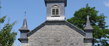
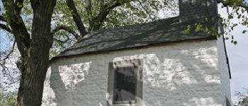
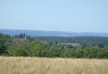
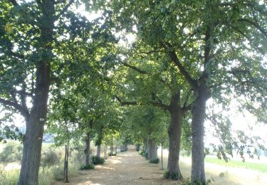
Family oriented walk through the lovely little village of Lavaux, home to the magnificent castle of Lavaux.


Wandern

Wandern
Wandern
Wandern

Wandern
Wandern
Wandern

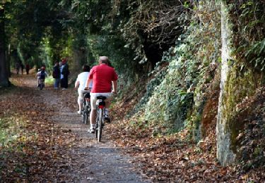
Fahrrad
Wandern
super
super
essai
vaut la peine d'être connu et utilisé.
Goed