


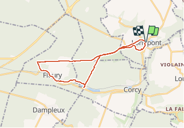


17,5 km | 21 km-effort


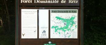
forêts de France


Kostenlosegpshiking-Anwendung
 SityTrail
IGN / Geografische Institute
SityTrail World
Die Welt öffnet sich für Sie
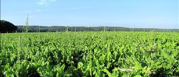
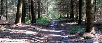
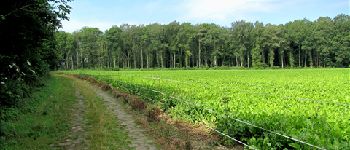
Tour Wandern von 14,4 km verfügbar auf Nordfrankreich, Aisne, Longpont. Diese Tour wird von en forêt de Retz vorgeschlagen.
voir aussi:
http://foret-de-retz.over-blog.com/
08/2012
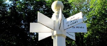
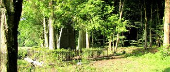
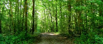
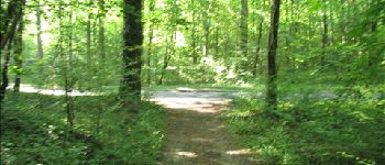
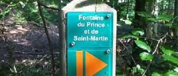
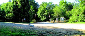
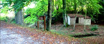
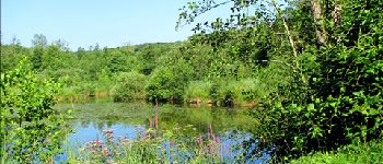
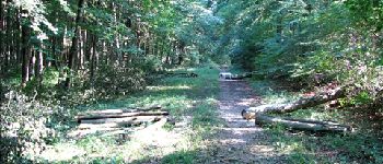
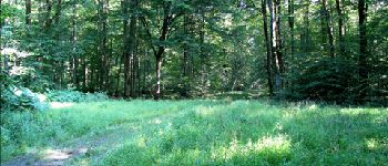
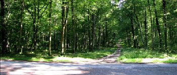
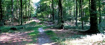
À partir de Longpont, GR11A, vieux chemin de Longpont jusqu''à la croix Bacquet, route du pendu, prendre à gauche au carrefour des grives et rejoindre Fleury par la départementale. Puis en longeant l''étang de Fleury par le sentier de forêt, rejoindre la fontaine du Prince. Retour par la laie de la route droite jusqu''à château Fée. Prendre la laie de la grosse pierre pour rejoindre le vieux chemin de Longpont. Retour à Longpont par la D2.


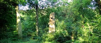
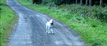
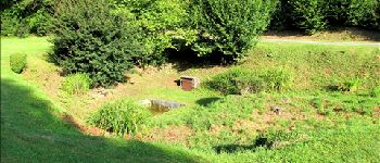
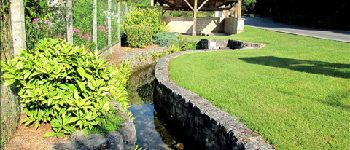
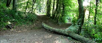
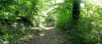
27 Fotos insgesamt. Klicken Sie auf ein Foto, um sie alle in der Galerie zu sehen.

Wandern

Wandern

Wandern

Zu Fuß

Zu Fuß

Wandern

Wandern

Wandern

Wandern