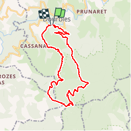

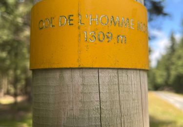
21 km | 29 km-effort

Benutzer


Kostenlosegpshiking-Anwendung
 SityTrail
IGN / Geografische Institute
SityTrail World
Die Welt öffnet sich für Sie
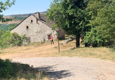
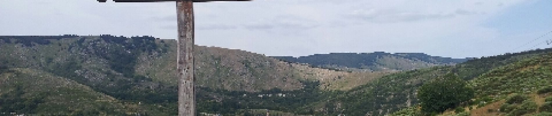
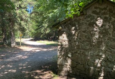
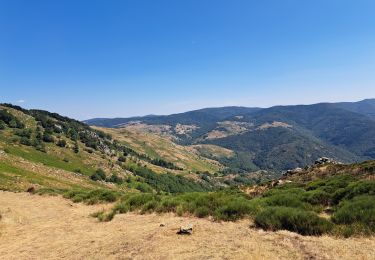
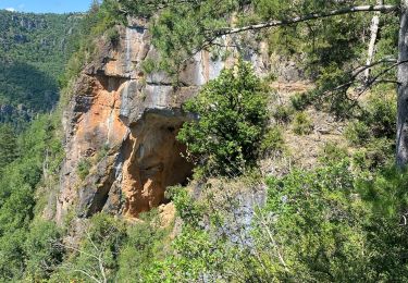
Tour Wandern von 18,9 km verfügbar auf Okzitanien, Gard, Dourbies. Diese Tour wird von VacheKiri67 vorgeschlagen.
Faite le 20/07/2012 en 6h55 (dont 0h30 de pause repas) avec notre fils de 7 ans.
Plus de détails : http://randonnee.cevenole.free.fr/index.php5?vue=topo&modele=StGuiral


Wandern
Wandern
Wandern
Wandern

Wandern
Wandern