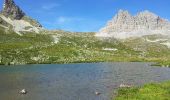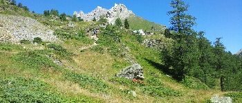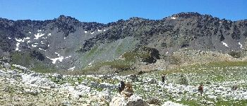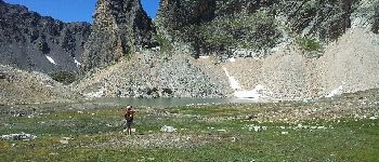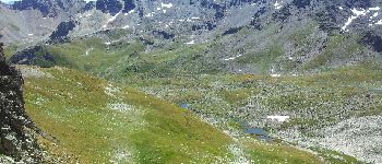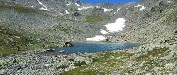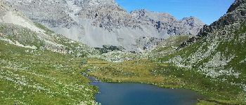

Les 3 lacs du Mont Thabor

patsure
Benutzer

Länge
18,2 km

Maximale Höhe
2630 m

Positive Höhendifferenz
929 m

Km-Effort
31 km

Min. Höhe
1719 m

Negative Höhendifferenz
958 m
Boucle
Nein
Erstellungsdatum :
2014-12-10 00:00:00.0
Letzte Änderung :
2014-12-10 00:00:00.0
6h33
Schwierigkeit : Schwierig

Kostenlosegpshiking-Anwendung
Über SityTrail
Tour Wandern von 18,2 km verfügbar auf Provence-Alpes-Côte d'Azur, Hochalpen, Névache. Diese Tour wird von patsure vorgeschlagen.
Beschreibung
Superbe rando avec des paysages très variés. Une bonne partie de la rando se fait en hors sentier, y compris des passages en pierrier.
Ort
Land:
France
Region :
Provence-Alpes-Côte d'Azur
Abteilung/Provinz :
Hochalpen
Kommune :
Névache
Standort:
Unknown
Gehen Sie:(Dec)
Gehen Sie:(UTM)
313130 ; 4993350 (32T) N.
Kommentare
Touren in der Umgebung
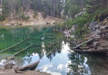
Lac Vert.Vallée Etroite.(27-09-17)


Wandern
Sehr leicht
(1)
Névache,
Provence-Alpes-Côte d'Azur,
Hochalpen,
France

4,2 km | 5,9 km-effort
1h 19min
Ja
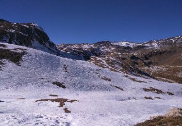
les granges de la vallée étroite au refuge du Mont Thabor


Wandern
Einfach
(1)
Névache,
Provence-Alpes-Côte d'Azur,
Hochalpen,
France

8,6 km | 16,2 km-effort
3h 44min
Nein
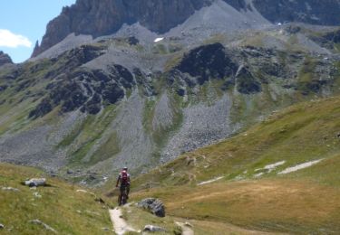
Tour des Rois Mages en VTT - Névache


Mountainbike
Schwierig
(2)
Névache,
Provence-Alpes-Côte d'Azur,
Hochalpen,
France

35 km | 55 km-effort
5h 0min
Ja
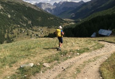
Col roche noire


Wandern
Schwierig
Névache,
Provence-Alpes-Côte d'Azur,
Hochalpen,
France

17,1 km | 31 km-effort
6h 37min
Ja
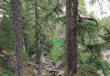
le Mont Thabor


Wandern
Schwierig
Névache,
Provence-Alpes-Côte d'Azur,
Hochalpen,
France

19,9 km | 40 km-effort
8h 44min
Ja
Vallée étroite refuge du Thabor


Wandern
Schwierig
Névache,
Provence-Alpes-Côte d'Azur,
Hochalpen,
France

10,2 km | 18,4 km-effort
3h 6min
Nein
Vallée étroite thabor


sport
Sehr leicht
Névache,
Provence-Alpes-Côte d'Azur,
Hochalpen,
France

23 km | 43 km-effort
Unbekannt
Ja
J4 2023 - Le Thabor épisode 2


Wandern
Sehr schwierig
Névache,
Provence-Alpes-Côte d'Azur,
Hochalpen,
France

24 km | 44 km-effort
7h 13min
Ja
Mont Thabor à partir des Granges


Wandern
Sehr schwierig
Névache,
Provence-Alpes-Côte d'Azur,
Hochalpen,
France

18,1 km | 37 km-effort
6h 39min
Nein


 SityTrail


