


17,5 km | 21 km-effort


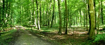
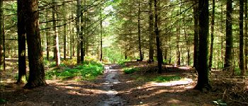
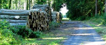
forêts de France


Kostenlosegpshiking-Anwendung
 SityTrail
IGN / Geografische Institute
SityTrail World
Die Welt öffnet sich für Sie
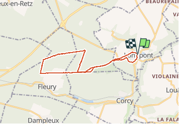
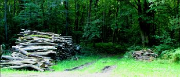
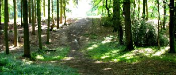
Tour Wandern von 14,1 km verfügbar auf Nordfrankreich, Aisne, Longpont. Diese Tour wird von en forêt de Retz vorgeschlagen.
voir aussi:
http://foret-de-retz.over-blog.com/
08/2012
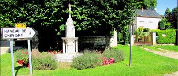
À partir de Longpont, GR11A, vieux chemin de Longpont jusqu''à la croix Bacquet, route du Pendu, puis prendre la laie des Rossignols jusqu''au rond d''Orleans. Suivre la route de Chavigny jusqu''au carrefour de Chavigny puis rejoindre la croix Bacquet par la route des Chamarts. Prendre le vieux chemin de Longpont, puis la route du pendu au carrefour du Renard jusqu''à château Fée. Prendre la laie de la grosse pierre jusqu''au vieux chemin de Longpont. Le continuer jusqu''à la D2 et retour à Longpont.


Wandern

Wandern

Wandern

Zu Fuß

Zu Fuß

Wandern

Wandern

Wandern

Wandern