![](/images/other/stat-length.png)
![Tour Wandern Longpont - en forêt de Retz_4_Longpont_monument Mangin_AR - Photo](https://media.geolcdn.com/t/1900/400/ext.pjpeg?maxdim=2&url=https%3A%2F%2Fservices.sitytrail.com%2FGeolivesWS%2FDownloadMedia.ashx%3FTrailID%3D143514%26Media%3D20120804081522.jpg)
en forêt de Retz_4_Longpont_monument Mangin_AR
en forêt de Retz
forêts de France
![Länge](/images/other/stat-length.png)
![Maximale Höhe](https://static1.geolcdn.com/siteimages/upload/files/1508320355ic_sort_altitude_max_24dp.png)
![Positive Höhendifferenz](https://static1.geolcdn.com/siteimages/upload/files/1508320355ic_sort_den_pos_24dp.png)
![Km-Effort](/images/other/stat-length.png)
![Min. Höhe](https://static1.geolcdn.com/siteimages/upload/files/1508320355ic_sort_altitude_min_24dp.png)
![Negative Höhendifferenz](https://static1.geolcdn.com/siteimages/upload/files/1508320355ic_sort_den_neg_24dp.png)
![Boucle](https://static1.geolcdn.com/siteimages/upload/files/16400158638029165_repeat_loop_refresh_sync_direction_icon.png)
![Wandern](https://static1.geolcdn.com/sitytour/trail-icons/101.png)
4h16
Schwierigkeit : Schwierig
![Scannen Sie diesen QR-Code, um die Tour in der SityTrail-Anwendung zu öffnen](https://capi.geolives.com/qq0zvz2zws4bq2lad0pu/sitytour/trails/143514/qr.png?size=200)
Kostenlosegpshiking-Anwendung
Über SityTrail
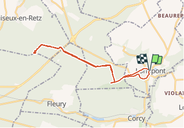
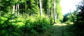
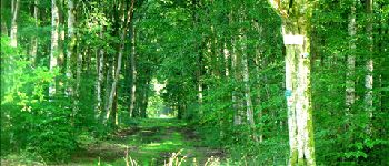
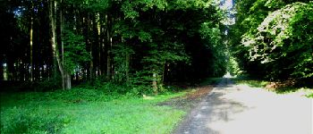
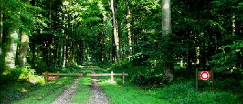
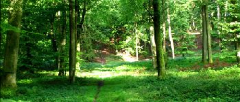
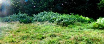
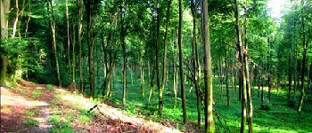
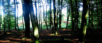
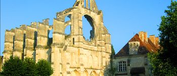
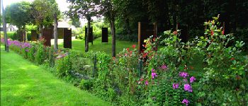
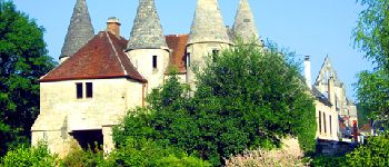
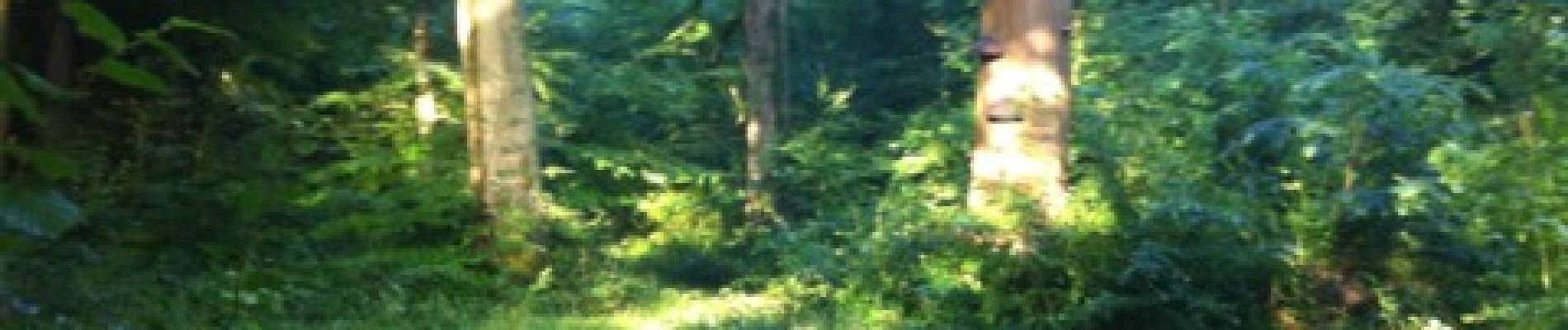
Tour Wandern von 16,1 km verfügbar auf Nordfrankreich, Aisne, Longpont. Diese Tour wird von en forêt de Retz vorgeschlagen.
Beschreibung
voir aussi:
http://foret-de-retz.over-blog.com/
08/2012
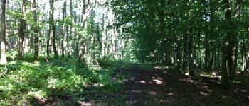
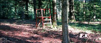
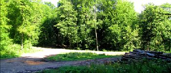
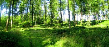
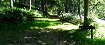
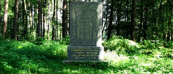
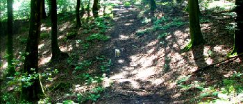
A partir de Longpont, prendre le GR11A puis le vieux chemin de Longpont, tourner au carrefour Bosc dans la laie des grands Charmes. Au carrefour des écuries, prendre la route de Chavigny jusqu''au carrefour de Chavigny. Prendre la laie des monthieux, traverser le pont de la N2 puis rejoindre le carrefour des têtes salmon et enfin le monument du général Mangin. Et retour en terminant par la D2 jusqu''à Longpont.
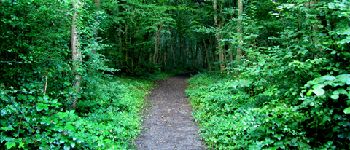
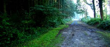
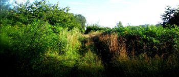
POIs
Ort
Kommentare
Touren in der Umgebung
![Tour Wandern Longpont - en forêt de Retz_19_Longpont_carrefour de Vauvaudran_AR - Photo](https://media.geolcdn.com/t/375/260/ext.jpg?maxdim=2&url=https%3A%2F%2Fservices.sitytrail.com%2FGeolivesWS%2FDownloadMedia.ashx%3FTrailID%3D210065%26Media%3D7400f5f3-6e68-4369-80be-a6f995897023.JPG)
![Wandern Wandern](https://static1.geolcdn.com/sitytour/trail-icons/101.png)
Wandern
![](/images/other/stat-length.png)
![](https://static1.geolcdn.com/siteimages/upload/files/16400158638029165_repeat_loop_refresh_sync_direction_icon.png)
![Tour Wandern Corcy - FLEURY .AISNE - Photo](https://media.geolcdn.com/t/375/260/761ff574-2cac-48f6-adc9-2cc5319599a5.jpg&format=jpg&maxdim=2)
![Wandern Wandern](https://static1.geolcdn.com/sitytour/trail-icons/101.png)
Wandern
![](/images/other/stat-length.png)
![](https://static1.geolcdn.com/siteimages/upload/files/16400158638029165_repeat_loop_refresh_sync_direction_icon.png)
![Tour Wandern Corcy - en forêt de Retz_91_04_2022_la Laie de la Belle Epine - Photo](https://media.geolcdn.com/t/375/260/28921992-4eb0-4c37-93fe-d10d0fd6e5c8.jpg&format=jpg&maxdim=2)
![Wandern Wandern](https://static1.geolcdn.com/sitytour/trail-icons/101.png)
Wandern
![](/images/other/stat-length.png)
![](https://static1.geolcdn.com/siteimages/upload/files/16400158638029165_repeat_loop_refresh_sync_direction_icon.png)
![Tour Zu Fuß Puiseux-en-Retz - Route du Faîte - Photo](https://media.geolcdn.com/t/375/260/ed0a74b8-9801-4168-82e4-02efd0513983.jpeg&format=jpg&maxdim=2)
![Zu Fuß Zu Fuß](https://static1.geolcdn.com/sitytour/trail-icons/100.png)
Zu Fuß
![](/images/other/stat-length.png)
![](https://static1.geolcdn.com/siteimages/upload/files/16400158638029165_repeat_loop_refresh_sync_direction_icon.png)
![Tour Zu Fuß Longpont - en forêt de Retz_22_Longpont_Rond d'Orléans_AR - Photo](https://media.geolcdn.com/t/375/260/ext.jpg?maxdim=2&url=https%3A%2F%2Fservices.sitytrail.com%2FGeolivesWS%2FDownloadMedia.ashx%3FTrailID%3D262872%26Media%3D1ba3644a-d1e0-4418-a1a0-81ea6ad854f5.jpg)
![Zu Fuß Zu Fuß](https://static1.geolcdn.com/sitytour/trail-icons/100.png)
Zu Fuß
![](/images/other/stat-length.png)
![](https://static1.geolcdn.com/siteimages/upload/files/16400158638029165_repeat_loop_refresh_sync_direction_icon.png)
![Wandern Wandern](https://static1.geolcdn.com/sitytour/trail-icons/101.png)
Wandern
![](/images/other/stat-length.png)
![](https://static1.geolcdn.com/siteimages/upload/files/16400158638029165_repeat_loop_refresh_sync_direction_icon.png)
![Wandern Wandern](https://static1.geolcdn.com/sitytour/trail-icons/101.png)
Wandern
![](/images/other/stat-length.png)
![](https://static1.geolcdn.com/siteimages/upload/files/16400158638029165_repeat_loop_refresh_sync_direction_icon.png)
![Tour Wandern Montgobert - en forêt de Retz_75_promenade familiale tout temps - Photo](https://media.geolcdn.com/t/375/260/ext.jpg?maxdim=2&url=https%3A%2F%2Fservices.sitytrail.com%2FGeolivesWS%2FDownloadMedia.ashx%3FTrailID%3D1095148%26Media%3D5f33be5a-4c31-4cd8-bb37-b8a410cfd5a0.JPG)
![Wandern Wandern](https://static1.geolcdn.com/sitytour/trail-icons/101.png)
Wandern
![](/images/other/stat-length.png)
![](https://static1.geolcdn.com/siteimages/upload/files/16400158638029165_repeat_loop_refresh_sync_direction_icon.png)
![Tour Wandern Longpont - en forêt de Retz_73_ballade (5) en toute saison - Photo](https://media.geolcdn.com/t/375/260/ext.jpg?maxdim=2&url=https%3A%2F%2Fservices.sitytrail.com%2FGeolivesWS%2FDownloadMedia.ashx%3FTrailID%3D1090338%26Media%3D6ce3ff2f-f287-4e28-8f30-4085ee0fb282.JPG)
![Wandern Wandern](https://static1.geolcdn.com/sitytour/trail-icons/101.png)
Wandern
![](/images/other/stat-length.png)
![](https://static1.geolcdn.com/siteimages/upload/files/16400158638029165_repeat_loop_refresh_sync_direction_icon.png)