


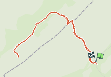

15,1 km | 21 km-effort


Benutzer


Kostenlosegpshiking-Anwendung
 SityTrail
IGN / Geografische Institute
SityTrail World
Die Welt öffnet sich für Sie
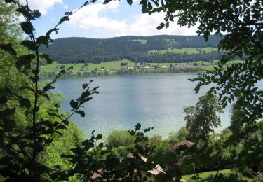
Tour Wandern von 6,9 km verfügbar auf Waadt, District de Nyon, Bassins. Diese Tour wird von tonymeyer vorgeschlagen.
Laisser la voiture là où la route de la montagne tourne à droite pour prendre le combe des Ambournex.
On peut prolonger par le Bois des Loges pour aller à la fromagerie des Loges.

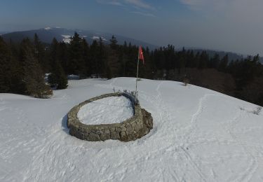
Wandern

Wandern

Wandern

Wandern

Zu Fuß
Zu Fuß
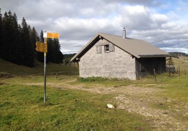
Wandern
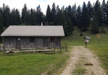
Wandern
Fahrrad