


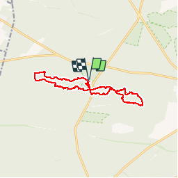


7,5 km | 8,2 km-effort

Benutzer


Kostenlosegpshiking-Anwendung
 SityTrail
IGN / Geografische Institute
SityTrail World
Die Welt öffnet sich für Sie
Tour Wandern von 14,7 km verfügbar auf Île-de-France, Seine-et-Marne, Fontainebleau. Diese Tour wird von randodan vorgeschlagen.
Les Gais Lurons du Mercredi.
18 juillet 2012.
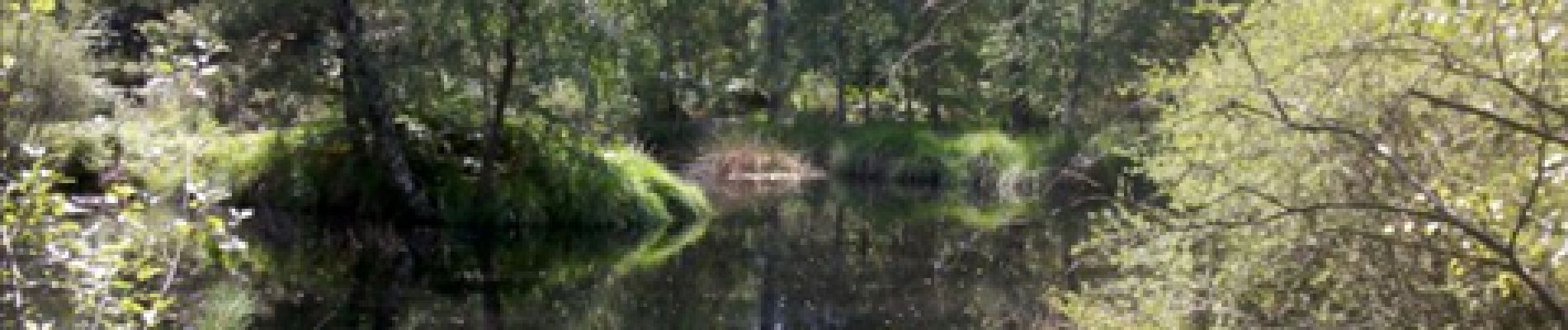
Départ parking Franchard.
Platières des Gorges du Houx,
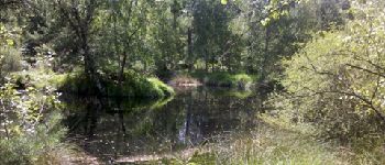
Mare aux Pigeons,
Gorges de Franchard.


Wandern

Wandern

Zu Fuß

Wandern

Wandern

Wandern

Wandern
Wandern
Wandern