


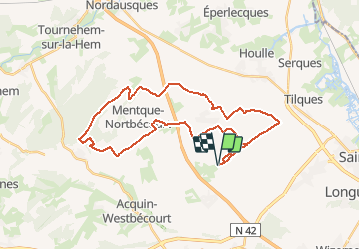

10,7 km | 11,4 km-effort


Benutzer


Kostenlosegpshiking-Anwendung
 SityTrail
IGN / Geografische Institute
SityTrail World
Die Welt öffnet sich für Sie
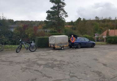
Tour Mountainbike von 31 km verfügbar auf Nordfrankreich, Pas-de-Calais, Zudausques. Diese Tour wird von sanjumelo vorgeschlagen.
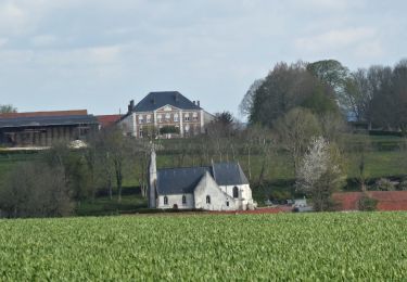
Ce sentier tient son nom de ces bâtiments ailés que vous rencontrerez sur votre parcours. Vous pouvez en conclure que certains passages seront bien venteux. Au départ de Zudausques, petit village en pleine expansion (les nouvelles maisons y poussent comme des champignons), vous pédalerez jusqu'à la forêt de Tournehem où un passage boisé vous donnera un peu d'ombre si vous roulez lors d'une belle journée ensoleillée. Sans grosse difficulté, ce sentier vous fera découvrir les derniers contreforts de l'Artois avant la plaine maritime.
Wandern
Wandern
Wandern
Mountainbike
Wandern
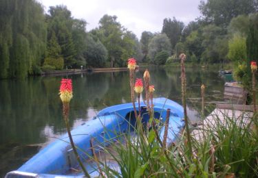
Kanufahren - Kajakfahren
Mountainbike

Wandern
Wandern