


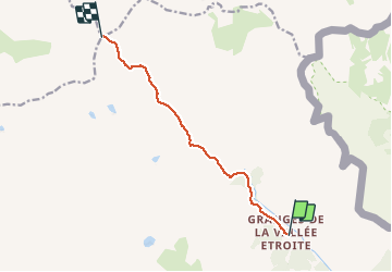

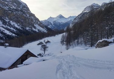
4,2 km | 5,9 km-effort


Benutzer


Kostenlosegpshiking-Anwendung
 SityTrail
IGN / Geografische Institute
SityTrail World
Die Welt öffnet sich für Sie
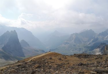
Tour Wandern von 8,4 km verfügbar auf Provence-Alpes-Côte d'Azur, Hochalpen, Névache. Diese Tour wird von renaud.levant vorgeschlagen.
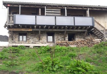
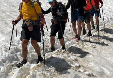
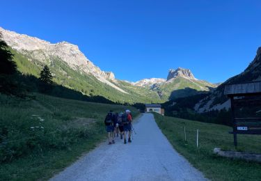
Itinéraire classique depuis les granges de la vallée étroite vers le mont Thabor. Aucune difficulté, mais une rando très longue.

Wandern

Wandern

Mountainbike

Wandern
Wandern

sport
Wandern
Wandern
Skiwanderen