


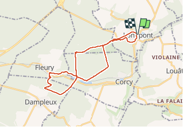


17,5 km | 21 km-effort

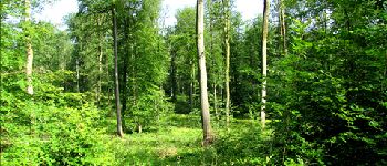
forêts de France


Kostenlosegpshiking-Anwendung
 SityTrail
IGN / Geografische Institute
SityTrail World
Die Welt öffnet sich für Sie
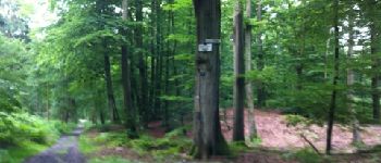
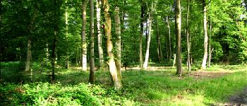
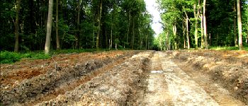
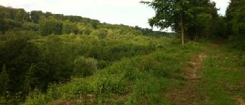
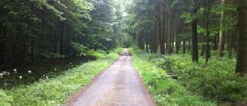
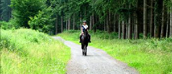
Tour Wandern von 15,3 km verfügbar auf Nordfrankreich, Aisne, Longpont. Diese Tour wird von en forêt de Retz vorgeschlagen.
voir aussi:
http://foret-de-retz.over-blog.com/
06/2012
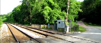
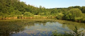
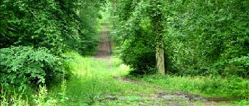
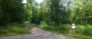
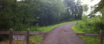
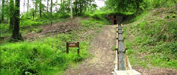
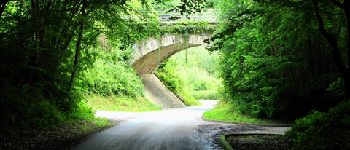
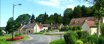
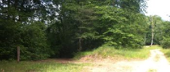
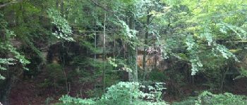
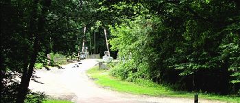
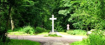
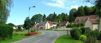
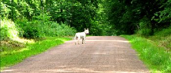
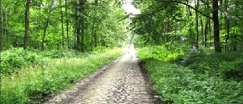
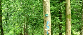
A partir de l''abbaye de Longpont, prendre le GR11A et rattraper le vieux chemin de Longpont. Au carrefour Bosc, prendre la laie des grands Charmes jusqu''au carrefour des places fraîches. Suivre la laie de l'étang et rejoindre l''étang de la petite Ramée. Traverser la D80 en suivant la laie de la route droite jusqu'au carrefour des Cornillards. Prendre la route des Briolles jusqu'à Fleury. Passer derrière l'étang de Fleury et longer la D80 pour rejoindre près du passage à niveau. Prendre la route de la Croix Bacquet jusqu'à la croix Bacquet. Prendre le vieux chemin de Longpont pour rejoindre la D2 et rentrer à Longpont.


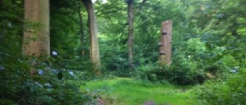
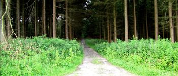
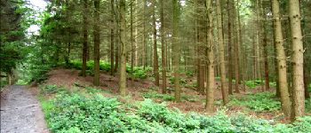
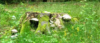
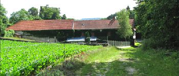
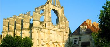
28 Fotos insgesamt. Klicken Sie auf ein Foto, um sie alle in der Galerie zu sehen.

Wandern

Wandern

Wandern

Zu Fuß

Zu Fuß

Wandern

Wandern

Wandern

Wandern