


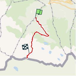

11 km | 16,7 km-effort


Benutzer


Kostenlosegpshiking-Anwendung
 SityTrail
IGN / Geografische Institute
SityTrail World
Die Welt öffnet sich für Sie
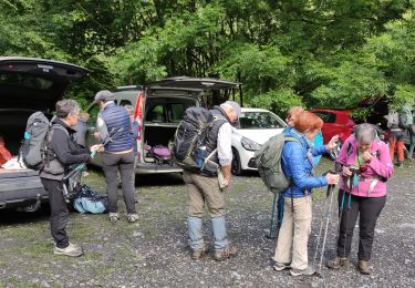
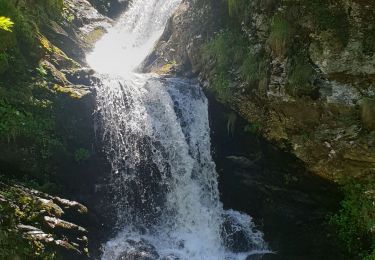
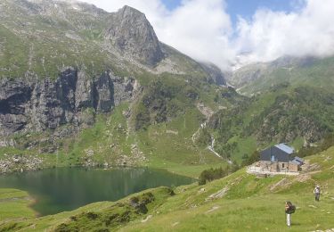
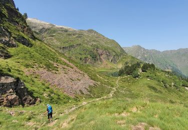
Tour Wandern von 8,9 km verfügbar auf Okzitanien, Haute-Garonne, Castillon-de-Larboust. Diese Tour wird von dbellanger vorgeschlagen.
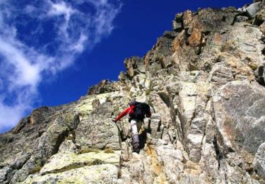
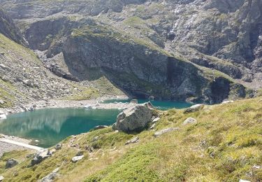
Belle ascension à partir de la centrale EDF du Portillon (auberge). Attention l'enregistrement n'inclut pas toute la descente (batterie à plat !)

Mountainbike
Wandern
Wandern

Zu Fuß

Wandern
Wandern
Wandern
Wandern
Wandern