


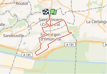


10,9 km | 11,7 km-effort


Benutzer


Kostenlosegpshiking-Anwendung
 SityTrail
IGN / Geografische Institute
SityTrail World
Die Welt öffnet sich für Sie
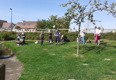
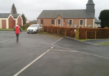
Tour Wandern von 12,7 km verfügbar auf Normandie, Seine-Maritime, Saint-Vincent-Cramesnil. Diese Tour wird von bergo vorgeschlagen.
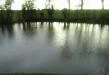
Au coin sud, belvédère avec vue sur pont de Tancarville, estuaire et pont de Normandie : vaut le détour
Wandern

Wandern

Wandern
Wandern
Wandern
Wandern

Wandern
Andere Aktivitäten
Wandern