


17,5 km | 26 km-effort

Benutzer


Kostenlosegpshiking-Anwendung
 SityTrail
IGN / Geografische Institute
SityTrail World
Die Welt öffnet sich für Sie
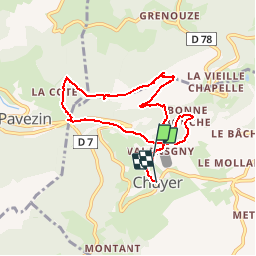
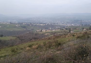
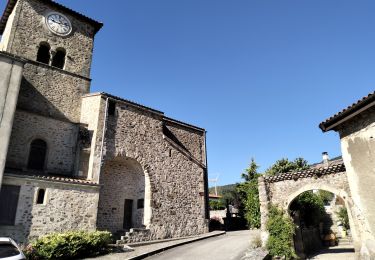
Tour Wandern von 7,9 km verfügbar auf Auvergne-Rhone-Alpen, Loire, Chuyer. Diese Tour wird von tracegps vorgeschlagen.
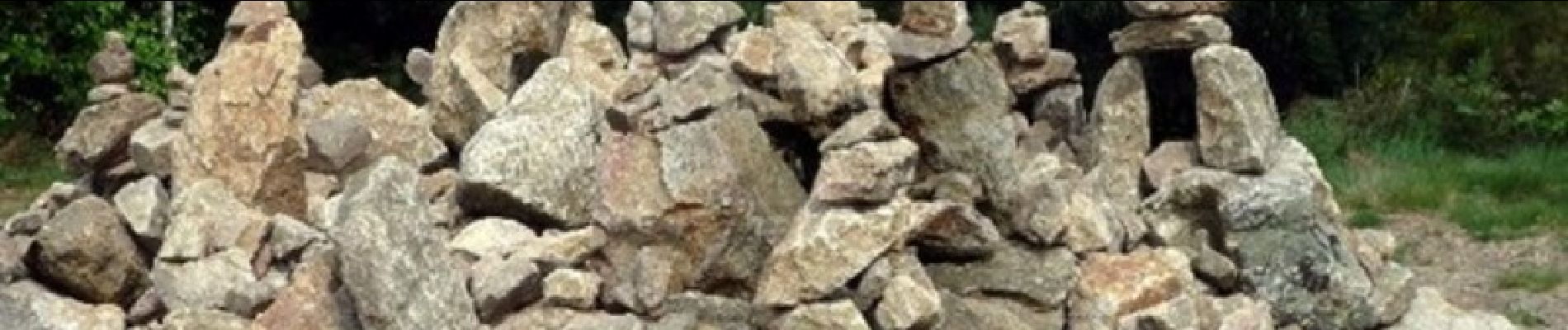
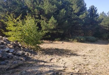
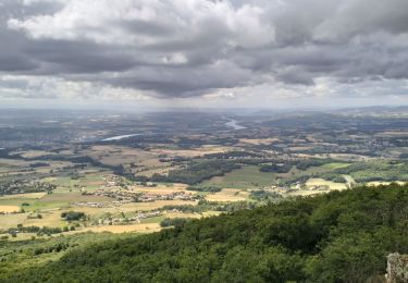
Le Mont Ministre est une appellation récente, on dit qu’un ministre du culte protestant y aurait trouvé refuge, au temps des guerres de religion. Mais il faut sans doute y voir plutôt la déformation en un nom familier d’un nom primitif devenu incompréhensible pour les populations locales. Le sommet auquel on accède par un chemin facile et agréable est marqué par une installation de type « land’art », assemblage de cailloux en équilibre aussi artistique qu’éphémère, auquel chaque passant se doit de contribuer en y ajoutant sa pierre ! (© P. Berlier)

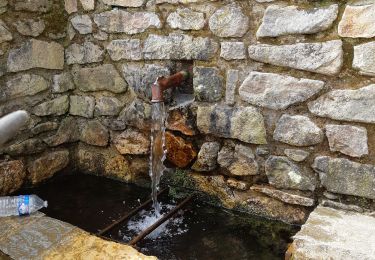
Wandern
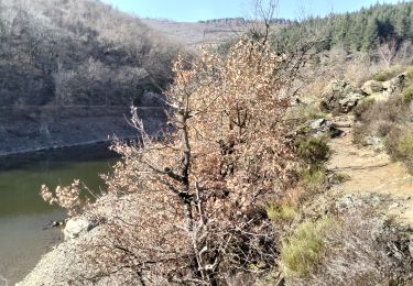
Wandern
Wandern

Wandern
Wandern
Wandern
Wandern
Wandern
Wandern