


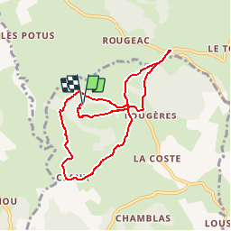

82 km | 119 km-effort

Benutzer


Kostenlosegpshiking-Anwendung
 SityTrail
IGN / Geografische Institute
SityTrail World
Die Welt öffnet sich für Sie
Tour Wandern von 8,9 km verfügbar auf Auvergne-Rhone-Alpen, Haute-Loire, Saint-Étienne-Lardeyrol. Diese Tour wird von tracegps vorgeschlagen.
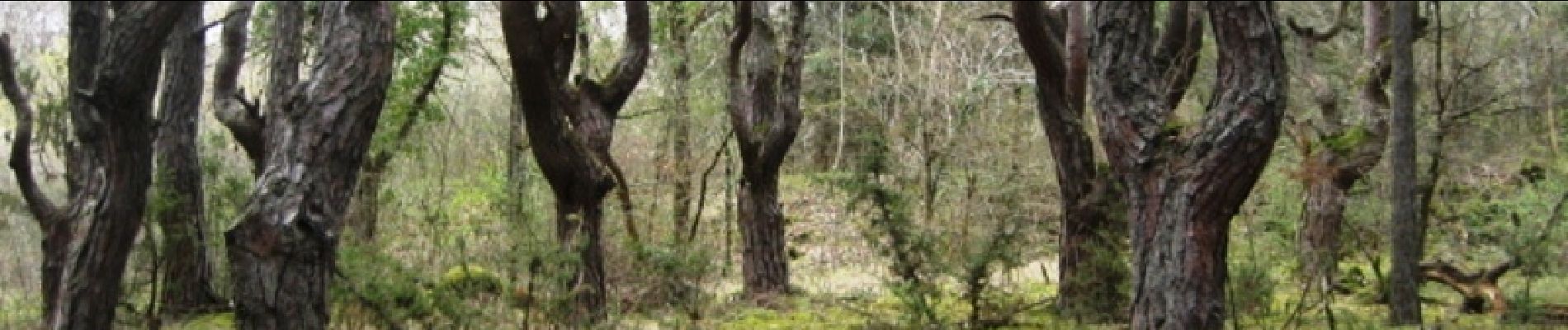
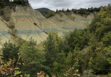
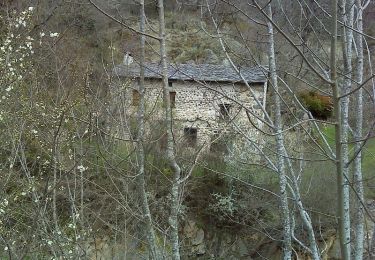
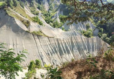
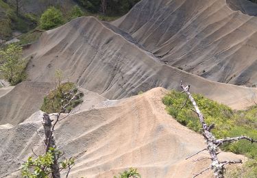
Petite balade au travers des Sucs. La Huche Plate offre un aspect très original avec son sommet parfaitement plat. On peut prolonger avec le tour de la Huche Pointue.


sport

Wandern
Wandern

Wandern

Wandern

Mountainbike
Wandern
Wandern
Wandern