


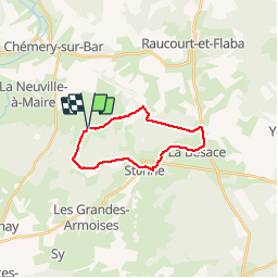

9,5 km | 12,4 km-effort

Benutzer


Kostenlosegpshiking-Anwendung
 SityTrail
IGN / Geografische Institute
SityTrail World
Die Welt öffnet sich für Sie
Tour Wandern von 16,4 km verfügbar auf Großer Osten, Ardennes, Artaise-le-Vivier. Diese Tour wird von tracegps vorgeschlagen.
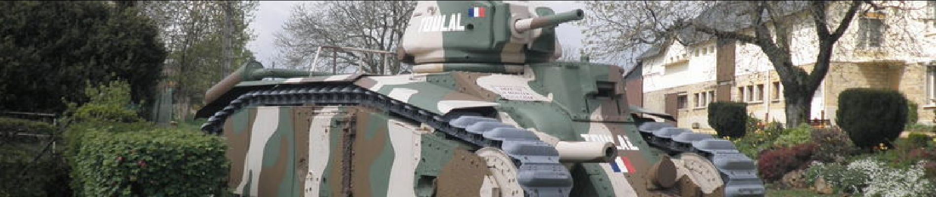
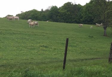
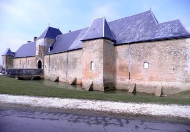
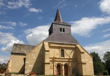
Entre prairies et forêts, ce circuit vous fait visiter un lieu où il y eu en mai 1940 de très sanglants combats. Vous marcherez en partie sur la voie romaine Reims Trève et aurez un magnifique panorama du haut du "pain de sucre" de Stonne.


Wandern
Wandern
Mountainbike

Wandern
Wandern

Wandern

Wandern
Wandern
Wandern