


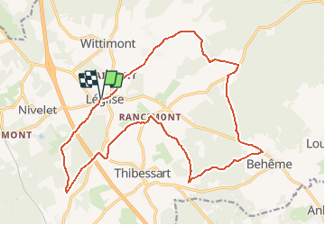

12,5 km | 15,3 km-effort


Benutzer


Kostenlosegpshiking-Anwendung
 SityTrail
IGN / Geografische Institute
SityTrail World
Die Welt öffnet sich für Sie
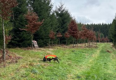
Tour Wandern von 19,4 km verfügbar auf Wallonien, Luxemburg, Léglise. Diese Tour wird von BenoitV vorgeschlagen.
Le 20kms de Léglise, au départ de la poste et de l'OT, partez à la découverte de quelques villages de notre commune ainsi que de sa forêt. Bonne ballade

Reiten
Wandern
Wandern

Mountainbike
Mountainbike
Wandern

Zu Fuß
Zu Fuß