


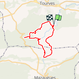

11,1 km | 17,8 km-effort


Benutzer


Kostenlosegpshiking-Anwendung
 SityTrail
IGN / Geografische Institute
SityTrail World
Die Welt öffnet sich für Sie
Tour Wandern von 14,9 km verfügbar auf Provence-Alpes-Côte d'Azur, Var, Tourves. Diese Tour wird von phidge vorgeschlagen.
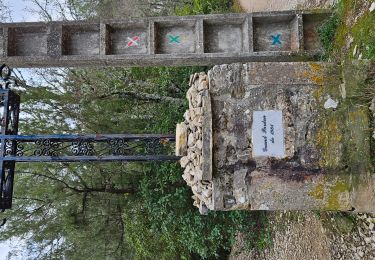
P2 T2 Très Beau
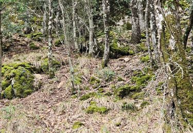
Départ un peu raide, ensuite pas de pb.
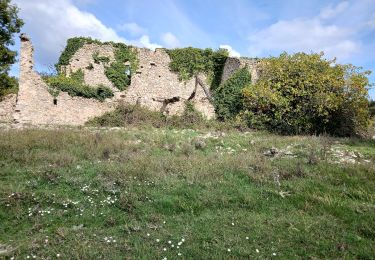
Longue marche au bord de l''eau, en été prévoir maillot de bain.

Wandern

Wandern

Wandern

Wandern

Wandern

Wandern
Zu Fuß
Wandern
Wandern