29 km | 31 km-effort
20120413
Climatis50
Benutzer
Länge
26 km
Maximale Höhe
41 m
Positive Höhendifferenz
159 m
Km-Effort
29 km
Min. Höhe
8 m
Negative Höhendifferenz
159 m
Boucle
Ja
Erstellungsdatum :
2014-12-10 00:00:00.0
Letzte Änderung :
2014-12-10 00:00:00.0
--
Schwierigkeit : Unbekannt
Kostenlosegpshiking-Anwendung
Über SityTrail
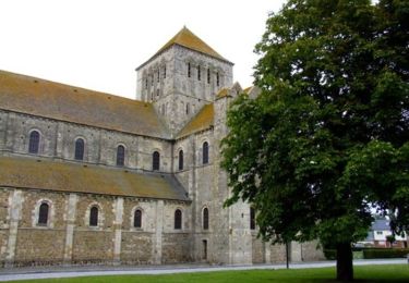
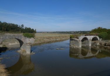
Tour Mountainbike von 26 km verfügbar auf Normandie, Manche, Lessay. Diese Tour wird von Climatis50 vorgeschlagen.
Ort
Land:
France
Region :
Normandie
Abteilung/Provinz :
Manche
Kommune :
Lessay
Standort:
Lessay
Gehen Sie:(Dec)
Gehen Sie:(UTM)
608499 ; 5452072 (30U) N.
Kommentare
Touren in der Umgebung
De l'Abbaye au bois du Pissot - Lessay
Wandern
Medium
(1)
Lessay,
Normandie,
Manche,
France
14,5 km | 16,3 km-effort
3h 30min
Ja
Les chemins de Saint Michel - Lessay - Granville
Wandern
Medium
Lessay,
Normandie,
Manche,
France
78 km | 88 km-effort
Unbekannt
Nein
Velo Lessay la Haie du Puits
Rennrad
Lessay,
Normandie,
Manche,
France
21 km | 22 km-effort
1h 55min
Ja
COTENTIN 1
Rennrad
Sehr schwierig
Vesly,
Normandie,
Manche,
France
258 km | 292 km-effort
17h 40min
Nein
TR DU COTENTIN 250K
Radtourismus
Sehr leicht
Vesly,
Normandie,
Manche,
France
240 km | 271 km-effort
Unbekannt
Ja
des-rives-de-l-ay-aux-landes-de-lessay 2
sport
Sehr leicht
Lessay,
Normandie,
Manche,
France
12,5 km | 13,5 km-effort
Unbekannt
Nein