


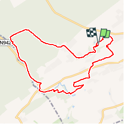


12,6 km | 15,6 km-effort

Destination Condroz-Famenne- une nature préservée PRO


Kostenlosegpshiking-Anwendung
 SityTrail
IGN / Geografische Institute
SityTrail World
Die Welt öffnet sich für Sie
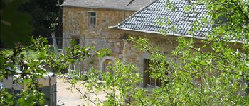
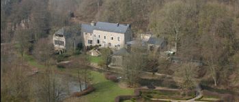
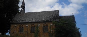
Tour Wandern von 9,4 km verfügbar auf Wallonien, Namur, Gesves. Diese Tour wird von Vallées des Saveurs - Maison du Tourisme Condroz-Famenne vorgeschlagen.
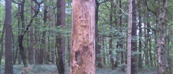
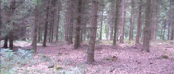
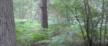
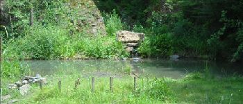
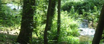
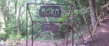
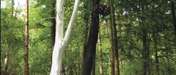
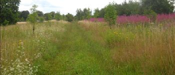
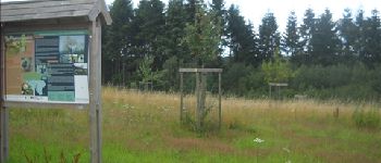
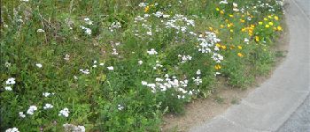
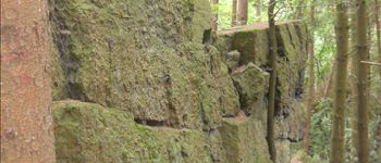
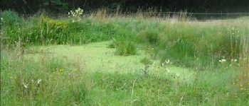
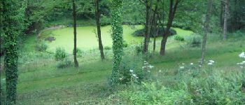
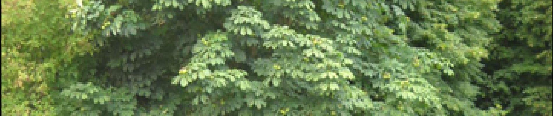
Rivières et ruisseaux seront vos fils conducteurs lors de cette balade forestière…
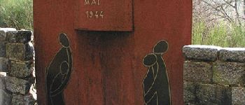
Vous irez de découverte en découverte et apprécierez l’extrême quiétude qui règne dans ces massifs
boisés!


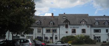
37 Fotos insgesamt. Klicken Sie auf ein Foto, um sie alle in der Galerie zu sehen.

Wandern

Wandern

Wandern

Wandern

Wandern

Wandern

Wandern

Wandern

Mountainbike
Superbe. Rien dire que ce mot là
parcours exceptionnel
Belle ballade essentiellement sur chemins et sentiers de terre. La principale difficulté se situe dans les deux premiers kilomètres (descente par chemin de chèvre très pentu, glissant par temps humide).
Balade agréable sur petits sentiers assez raides
tres bel ballade bel effort pr trouver des chemins détournés pr éviter les routes automobiles merci
Balade sympa, environnement calme, points d'intérêt orignaux, belle nature. Merci!
Très belle balade