


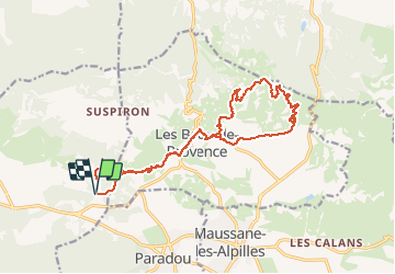

14,2 km | 17,2 km-effort


Benutzer


Kostenlosegpshiking-Anwendung
 SityTrail
IGN / Geografische Institute
SityTrail World
Die Welt öffnet sich für Sie
Tour Mountainbike von 18,6 km verfügbar auf Provence-Alpes-Côte d'Azur, Bouches-du-Rhône, Fontvieille. Diese Tour wird von Rakteam vorgeschlagen.
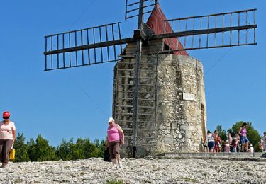
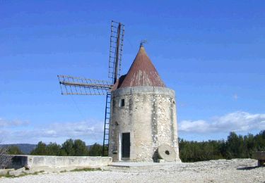
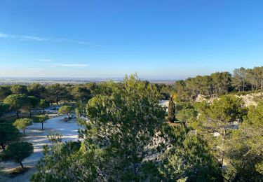
Départ depuis la carrière de Bauxite, passage à la maison de retraite des Baux. Retour par les crêtes avec une magnifique vue sur le Mont Ventoux.

Wandern
Wandern
Wandern
Zu Fuß

Wandern
Wandern
Wandern
Wandern
Wandern