


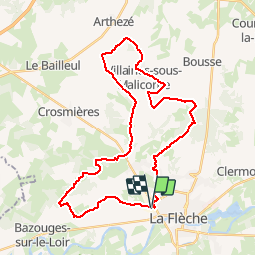

46 km | 51 km-effort


Benutzer


Kostenlosegpshiking-Anwendung
 SityTrail
IGN / Geografische Institute
SityTrail World
Die Welt öffnet sich für Sie
Tour Mountainbike von 35 km verfügbar auf Pays de la Loire, Sarthe, La Flèche. Diese Tour wird von tracegps vorgeschlagen.
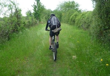
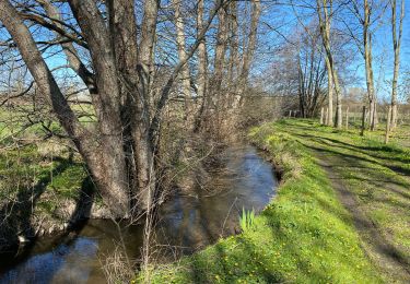
Ballade VTT agréable. Joli sentier en redescendant vers Bazouge. Circuit facile (VTT-VTC). ½ chemin - ½ petite route.


Mountainbike
Mountainbike
Mountainbike
Mountainbike
Radtourismus
Mountainbike
Mountainbike
Mountainbike
Mountainbike