


13,2 km | 16,5 km-effort


Benutzer


Kostenlosegpshiking-Anwendung
 SityTrail
IGN / Geografische Institute
SityTrail World
Die Welt öffnet sich für Sie
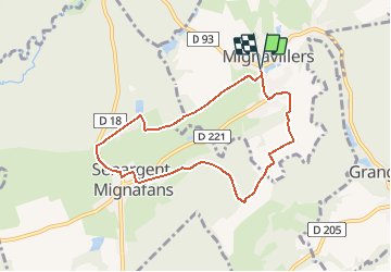
Tour Wandern von 7,2 km verfügbar auf Burgund und Freigrafschaft, Haute-Saône, Mignavillers. Diese Tour wird von tracegps vorgeschlagen.
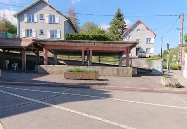
Territoire constitué de 33 communes, le pays de Villersexel est niché dans un écrin de verdure dans le département nord de la Franche-Comté. Situé en Haute-Saône, Villersexel se trouve près de l'Alsace, des Vosges, de l'Allemagne et de la Suisse. Dans un cadre préservé, venez vivre des sensations authentiques au cœur de grands espaces. De nombreux loisirs (canoë-Kayak dans la vallée de l'Ognon, randonnée pédestre, cyclotourisme, pêche) et un riche patrimoine culturel s'offrent à vous. Sentier de randonnée sur la thématique de l'ancienne Seigneurie de Granges qui était autrefois une des plus vastes seigneuries du Baillage d’Amont (ancien nom de la Haute-Saône). Départ du parking de la mairie de Mignavillers. Le parcours comprend deux boucles et une variante. Un Topoguide est disponible gratuitement à l'office de tourisme du Pays de Villersexel.
 - Mignavillers - Photo 1")
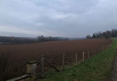
 - Mignavillers - Photo 2")
 - Mignavillers - Photo 3")
 - Mignavillers - Photo 4")
Wandern

Wandern

Wandern
Wandern

Wandern

Mountainbike
Mountainbike
Wandern
Wandern