


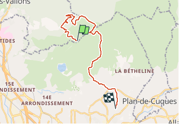

14,8 km | 21 km-effort


Benutzer


Kostenlosegpshiking-Anwendung
 SityTrail
IGN / Geografische Institute
SityTrail World
Die Welt öffnet sich für Sie
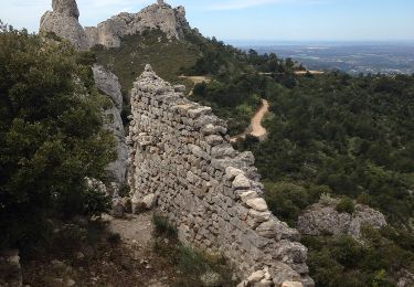
Tour Mountainbike von 13,3 km verfügbar auf Provence-Alpes-Côte d'Azur, Bouches-du-Rhône, Septèmes-les-Vallons. Diese Tour wird von mapomme vorgeschlagen.
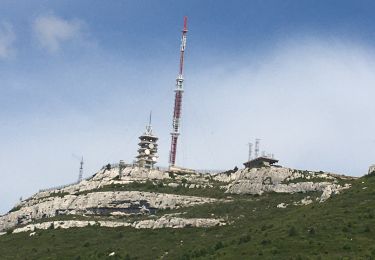
Variante pour monter aux barres.
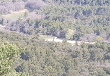
Ca tire dans les jambes a la montee ...
Descente des barres en V4 avec petit saut pour demarrer.
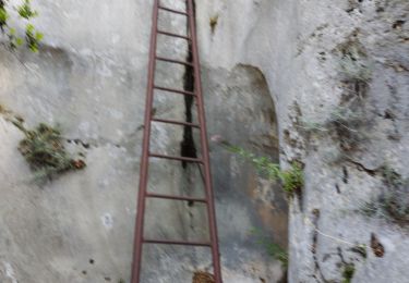
Prendre protections ;-)

Wandern

Wandern

Mountainbike

Wandern
Wandern
Elektrofahrrad
Wandern
Wandern
Wandern