


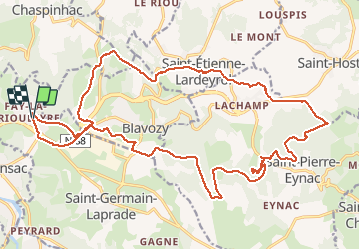

31 km | 41 km-effort


Benutzer


Kostenlosegpshiking-Anwendung
 SityTrail
IGN / Geografische Institute
SityTrail World
Die Welt öffnet sich für Sie
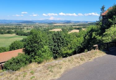
Tour Mountainbike von 27 km verfügbar auf Auvergne-Rhone-Alpen, Haute-Loire, Saint-Germain-Laprade. Diese Tour wird von alph13 vorgeschlagen.
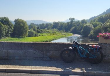
Belle descente après la route de la descente de la vierge, mais il faut pas se tromper car trace moto qui tourne en rond.

Wandern

Wandern

Wandern

Wandern
Elektrofahrrad
Wandern
Elektrofahrrad
Elektrofahrrad
Elektrofahrrad