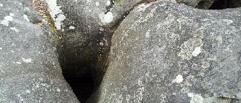

2012-02-28 Rocher Cuvier

TaxiMarne
Benutzer

Länge
12,6 km

Maximale Höhe
150 m

Positive Höhendifferenz
246 m

Km-Effort
15,8 km

Min. Höhe
87 m

Negative Höhendifferenz
247 m
Boucle
Ja
Erstellungsdatum :
2014-12-10 00:00:00.0
Letzte Änderung :
2014-12-10 00:00:00.0
6h00
Schwierigkeit : Medium

Kostenlosegpshiking-Anwendung
Über SityTrail
Tour Wandern von 12,6 km verfügbar auf Île-de-France, Seine-et-Marne, Fontainebleau. Diese Tour wird von TaxiMarne vorgeschlagen.
Beschreibung
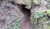
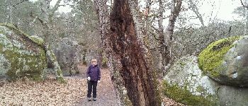
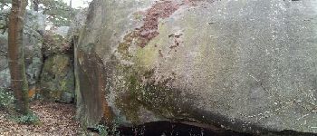
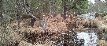
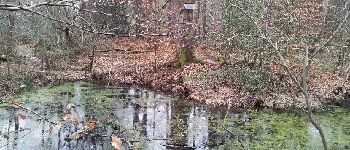
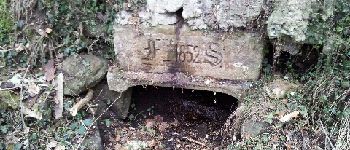
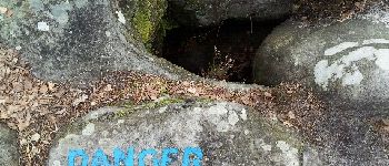
Départ du Carrefour de l'épine traversée du rocher cuvier chatillon par le GR1, passage sur les hauteurs de la Solle, traversée de la N7 au carrefour du Grand veneur, passage dans le désert d'Apremont et retour par la route de la solitude.
POIs
Ort
Land:
France
Region :
Île-de-France
Abteilung/Provinz :
Seine-et-Marne
Kommune :
Fontainebleau
Standort:
Unknown
Gehen Sie:(Dec)
Gehen Sie:(UTM)
473168 ; 5365977 (31U) N.
Kommentare
Touren in der Umgebung
Sentier des peintres


Wandern
Medium
(11)
Barbizon,
Île-de-France,
Seine-et-Marne,
France

7,5 km | 8,2 km-effort
1h 25min
Ja
Sur les traces de Césaire Sempité - Fontainebleau rocher canon


Wandern
Einfach
(1)
Fontainebleau,
Île-de-France,
Seine-et-Marne,
France

17,3 km | 21 km-effort
4h 8min
Ja
3pi-150428 - DésertApremont-Jupiter


Wandern
Einfach
(1)
Fontainebleau,
Île-de-France,
Seine-et-Marne,
France

16 km | 19,4 km-effort
6h 30min
Ja
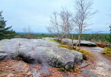
Boucle Barbizon - Arbonne 26 km


Wandern
Medium
Fontainebleau,
Île-de-France,
Seine-et-Marne,
France

26 km | 30 km-effort
5h 6min
Ja
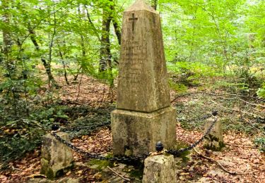
Fontainebleau les monts de Fay


Zu Fuß
Medium
Fontainebleau,
Île-de-France,
Seine-et-Marne,
France

22 km | 27 km-effort
6h 12min
Ja

SityTrail - JC 71 Fontainebleau Rocher Cassepot, Tour Denecourt


Wandern
Schwierig
(1)
Fontainebleau,
Île-de-France,
Seine-et-Marne,
France

16,9 km | 22 km-effort
4h 55min
Ja

Rando des trois châteaux parcours 42 km Fontainebleau Vaux le vicomte Blandy ...


Zu Fuß
Sehr schwierig
Fontainebleau,
Île-de-France,
Seine-et-Marne,
France

43 km | 50 km-effort
11h 23min
Nein
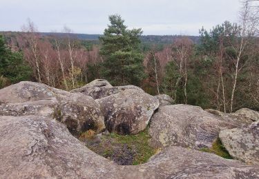
Boucle Fontainebleau


Wandern
Medium
Fontainebleau,
Île-de-France,
Seine-et-Marne,
France

29 km | 34 km-effort
5h 49min
Ja

SityTrail - JC 60 Fontainebleau, les rochers du long boyau, du Mt Morillon, d...


Zu Fuß
Schwierig
(2)
Fontainebleau,
Île-de-France,
Seine-et-Marne,
France

14,6 km | 17,3 km-effort
3h 56min
Ja


 SityTrail


