


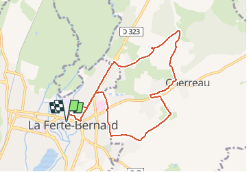

13,4 km | 15,9 km-effort


Benutzer


Kostenlosegpshiking-Anwendung
 SityTrail
IGN / Geografische Institute
SityTrail World
Die Welt öffnet sich für Sie
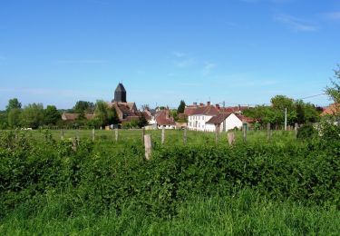
Tour Laufen von 8,7 km verfügbar auf Pays de la Loire, Sarthe, La Ferté-Bernard. Diese Tour wird von bobtail63 vorgeschlagen.
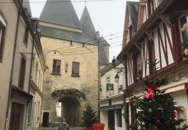
Depart du parking derrière saint Julien. Ce tracé permet de s'échauffer sur du bitume avant de rejoindre les chemins et quelques petites montées. Attention, gras en hiver.
Wandern
Wandern
Wandern
Wandern

Wandern
Wandern
Wandern
Laufen

Zu Fuß