


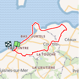


17,4 km | 21 km-effort

Benutzer GUIDE


Kostenlosegpshiking-Anwendung
 SityTrail
IGN / Geografische Institute
SityTrail World
Die Welt öffnet sich für Sie
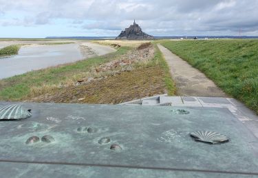
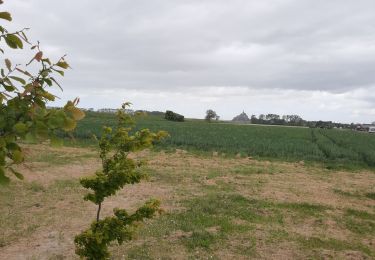
Tour Wandern von 14 km verfügbar auf Normandie, Manche, Huisnes-sur-Mer. Diese Tour wird von Orcal37 vorgeschlagen.
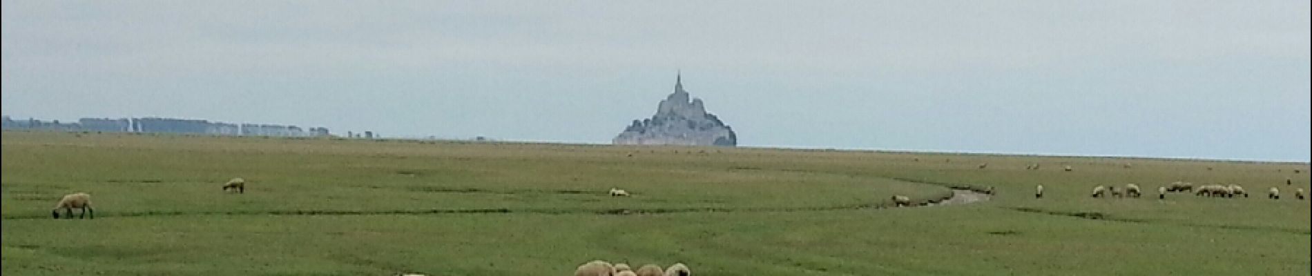
Mont-St-Michel - Pointe de Roche Torin - 14km 64m 4h30 45mn dej - 2017 06 26


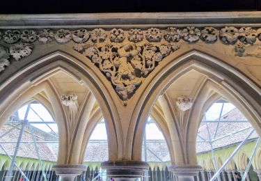
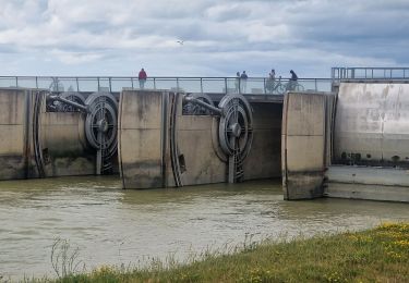
27 Fotos insgesamt. Klicken Sie auf ein Foto, um sie alle in der Galerie zu sehen.
Wandern
Wandern
Wandern
Wandern
Mountainbike

Wandern
Wandern
Wandern
Wandern