


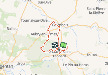


43 km | 53 km-effort


Benutzer


Kostenlosegpshiking-Anwendung
 SityTrail
IGN / Geografische Institute
SityTrail World
Die Welt öffnet sich für Sie
Tour Wandern von 20 km verfügbar auf Normandie, Orne, Gouffern en Auge. Diese Tour wird von neitag61 vorgeschlagen.
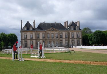
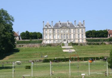
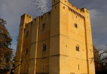
Départ arrivée au pied d"un magnifique chateau. Passage du coté de Trun, un des hauts lieux de la dernière bataille de Normandie en 1944
Mountainbike
Pferd
Wandern

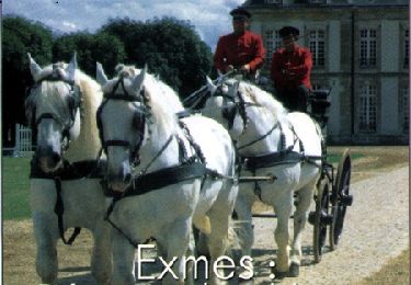
Pferd

Mountainbike
Wandern

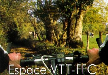
Mountainbike
Mountainbike
Mountainbike