


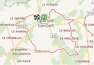

22 km | 28 km-effort


Benutzer


Kostenlosegpshiking-Anwendung
 SityTrail
IGN / Geografische Institute
SityTrail World
Die Welt öffnet sich für Sie
Tour Wandern von 10,7 km verfügbar auf Normandie, Orne, Perche en Nocé. Diese Tour wird von neitag61 vorgeschlagen.
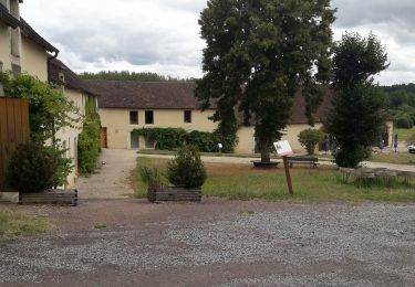
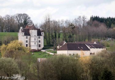
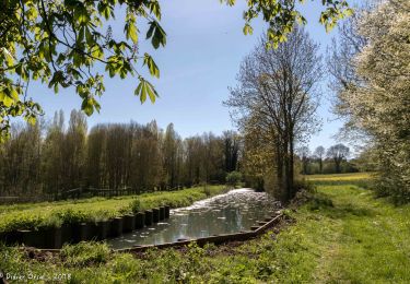
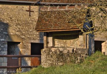
Superbe Circuit avec de multiples vues sur les vallons du Perche et un passage au Manoir de Courboyer ( Maison du Parc Régional du Perche )
circuit pédestre, équestre et VTT

Wandern
Wandern
Wandern

Wandern

Wandern
Wandern

Wandern
Wandern

Wandern