


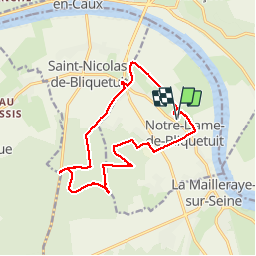

6,6 km | 7,3 km-effort


Benutzer


Kostenlosegpshiking-Anwendung
 SityTrail
IGN / Geografische Institute
SityTrail World
Die Welt öffnet sich für Sie
Tour Wandern von 13,8 km verfügbar auf Normandie, Seine-Maritime, Notre-Dame-de-Bliquetuit. Diese Tour wird von MichelRando7656 vorgeschlagen.
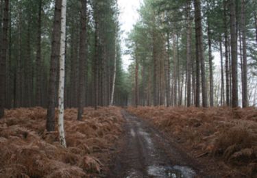
Chemins de campagne et routes vers usine de compostage. Ensuite routes forestières et chemins pour le retour


Wandern

Wandern
Wandern
Wandern

Wandern

Wandern

Wandern

Wandern
Mountainbike