


10 km | 11 km-effort


Benutzer


Kostenlosegpshiking-Anwendung
 SityTrail
IGN / Geografische Institute
SityTrail World
Die Welt öffnet sich für Sie
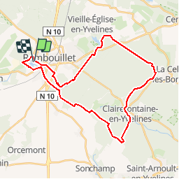
Tour Mountainbike von 32 km verfügbar auf Île-de-France, Yvelines, Rambouillet. Diese Tour wird von Jeanlouisbray vorgeschlagen.
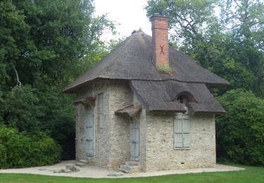
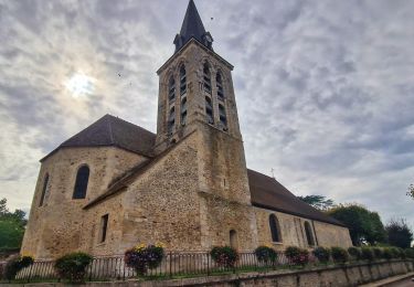
Rambouillet, étang d'or,étang de la Tour par le GR1. PNR jusqu'à Clairefontaine, Chapelle Saint-Jean, fosse aux Loups puis retour à Rambouillet par le GR 55 en repassant par l'étang d'Or.
Wandern
Mountainbike
Wandern

Zu Fuß

Wandern
Wandern
Wandern
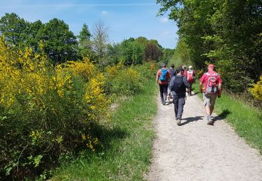
Wandern
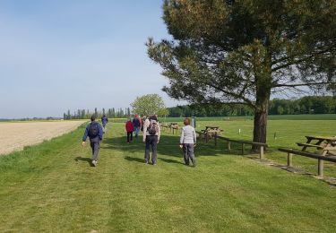
Wandern