


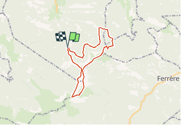

11,7 km | 24 km-effort


Benutzer


Kostenlosegpshiking-Anwendung
 SityTrail
IGN / Geografische Institute
SityTrail World
Die Welt öffnet sich für Sie
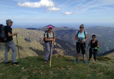
Tour Wandern von 12,9 km verfügbar auf Okzitanien, Hautes-Pyrénées, Nistos. Diese Tour wird von chrisgps vorgeschlagen.
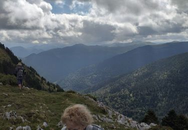
Départ du parking d'Artigous montée à gauche du Mt Aspet, passage au sommet redescente vers le Douly le cimetière et retour par longue piste
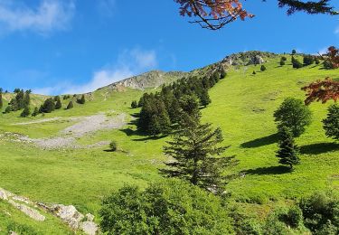
Wandern
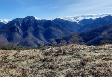
Wandern
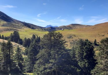
Wandern
Wandern
Wandern

Wandern

Wandern
Wandern
Wandern