


14,5 km | 20 km-effort

Benutzer


Kostenlosegpshiking-Anwendung
 SityTrail
IGN / Geografische Institute
SityTrail World
Die Welt öffnet sich für Sie
Tour Fahrrad von 17 km verfügbar auf Burgund und Freigrafschaft, Jura, Doucier. Diese Tour wird von tracegps vorgeschlagen.
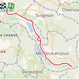
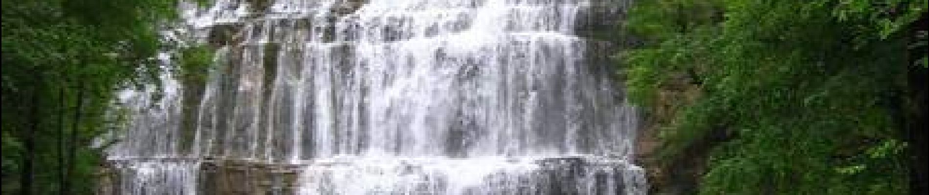
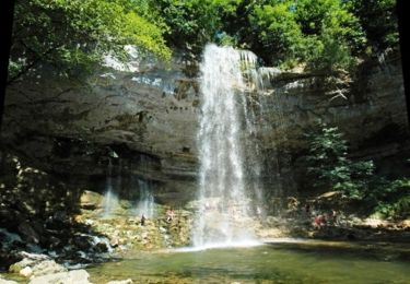
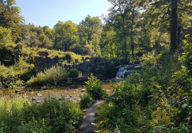
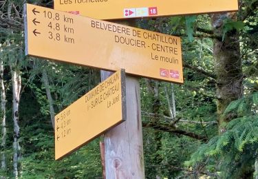
Circuit proposé par l'Office de Tourisme des lacs et petite montagne. Départ de Doucier. Route qui mène au départ de la randonnée des cascades du Hérisson en longeant 2 magnifiques lacs de pêche. N’oubliez pas votre antivol pour poser le vélo et faire une partie voire toute la randonnée des cascades. Attention cette route est très fréquentée en juillet et août. Un carnet de 16 fiches cyclo, en vente 5 € à l’Office de Tourisme, propose des circuits cyclo autour des lacs et en Petite Montagne de 15 à 100 km sur des petites routes tranquilles sans trop de dénivelé pour découvrir les curiosités de la région.


Wandern

Wandern
Mountainbike
Reiten
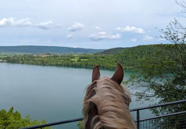
Reiten
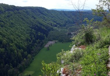
Wandern
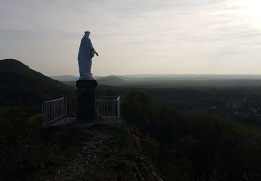
Wandern
Wandern
Wandern